
You can read the Medium version of this article here.
Story #
In March 2026, I visited Cape Sata in Kagoshima Prefecture during a trip through Miyazaki and Kagoshima.
I left my hotel in Kagoshima City in the morning and drove around Aira Caldera to Sakurajima. After driving a full circuit around Sakurajima, I headed south along the Osumi Peninsula to explore Cape Sata before returning to Kagoshima City.
Sakurajima #
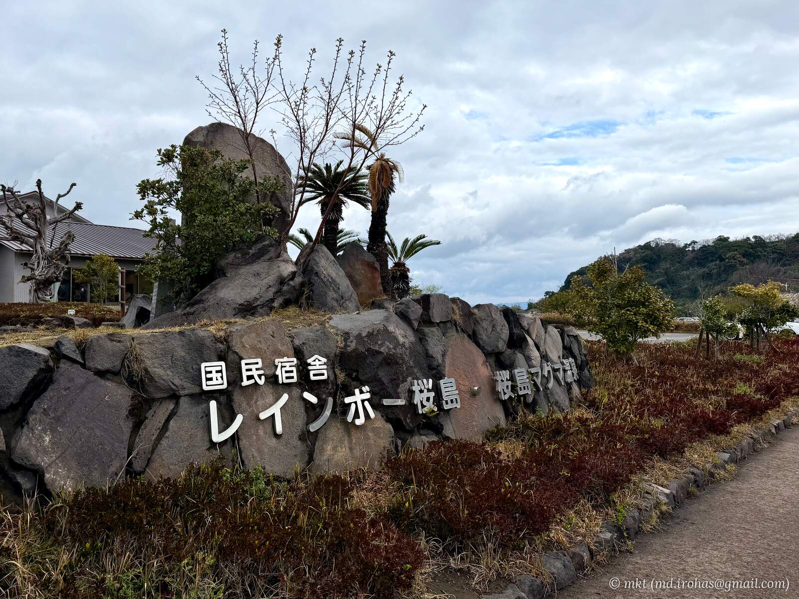
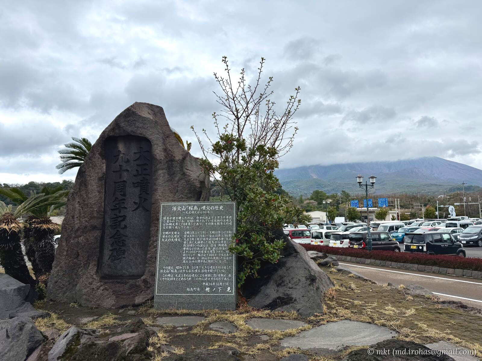
Sakurajima (Wikipedia) is an active volcano in Kagoshima Bay, also known as Kinko Bay. It was once an island, but lava from the great eruption of 1914 connected it to the Osumi Peninsula.
Instead of taking the ferry from Kagoshima City, I followed the road around the bay to Sakurajima.
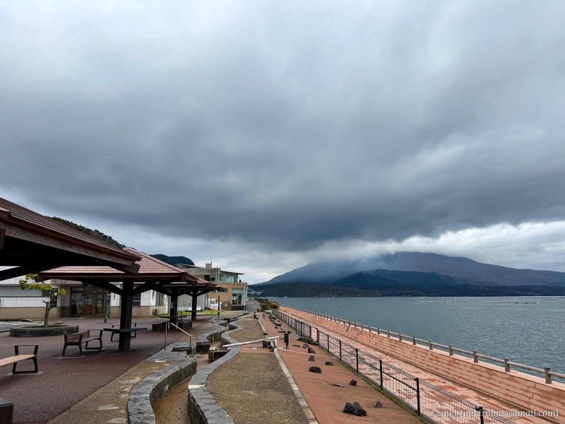
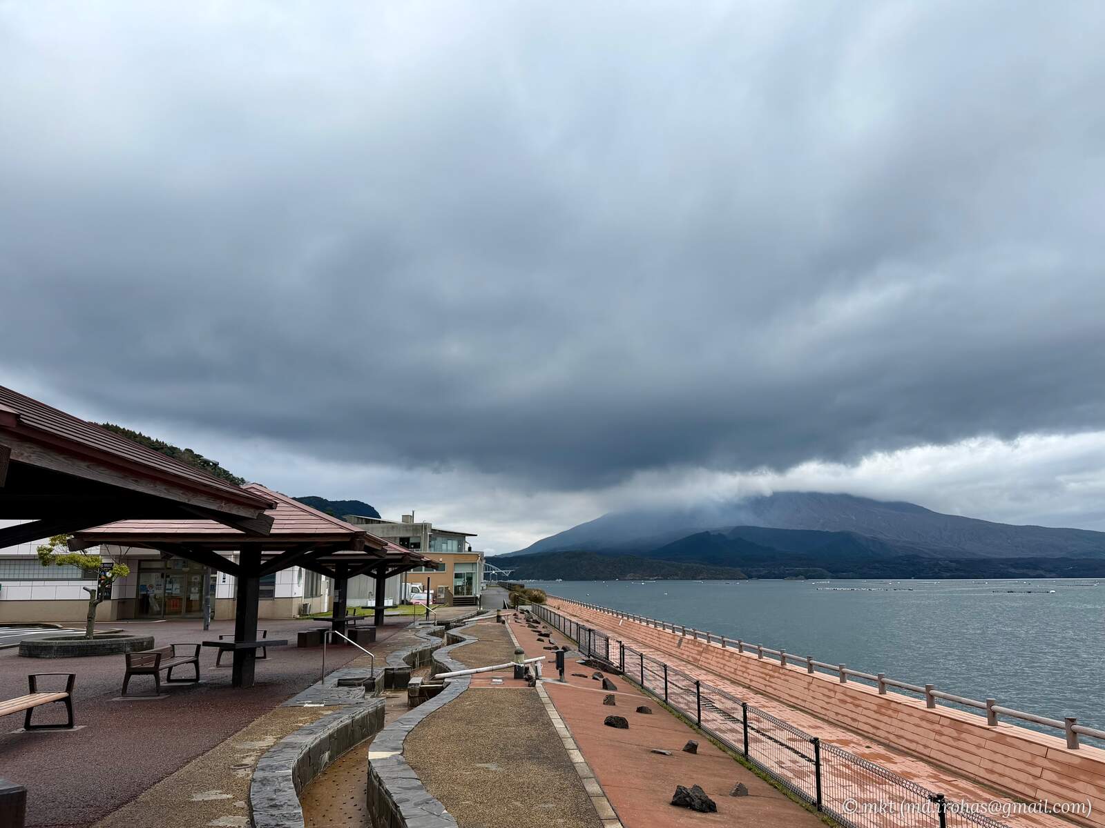
Just before reaching Sakurajima, I stopped at Tarumizu roadside rest area. There is a footbath here, but it was still empty that early in the morning, and the mountain was hidden in the clouds.
I crossed Ushine Bridge to reach Sakurajima.
The road around Sakurajima is about 36 km long – longer than I had expected. I drove counterclockwise, passing shelters built for use during volcanic eruptions.
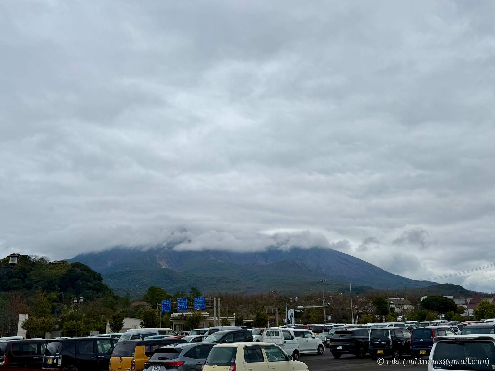
I stopped near Sakurajima Port along the way, but the weather had yet to improve. From the parking lot, the summit was still hidden in the clouds.
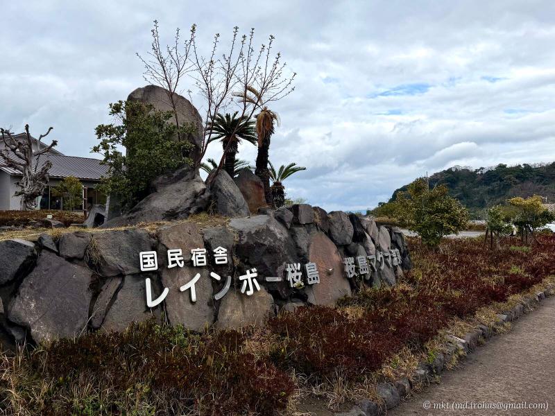
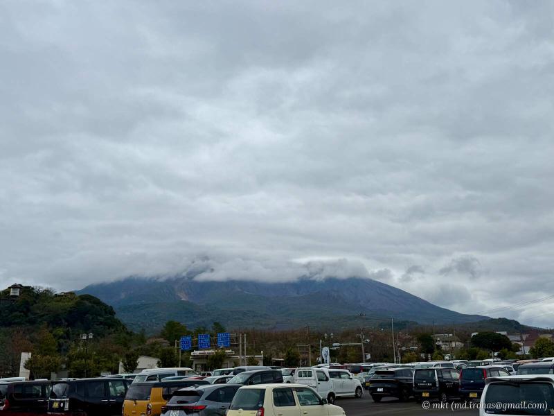
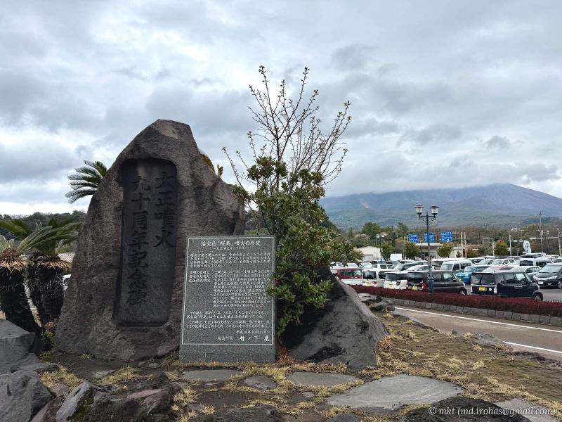
Hoping the weather would clear, I continued toward Cape Sata.
Cape Sata #
Cape Sata, in Minamiosumi, Kagoshima Prefecture, is the southernmost point of mainland Japan.
After about two hours of driving south from Sakurajima along the Osumi Peninsula, I finally reached the cape.
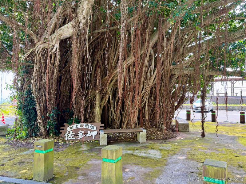
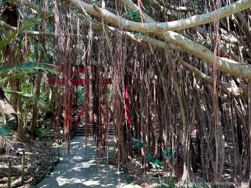
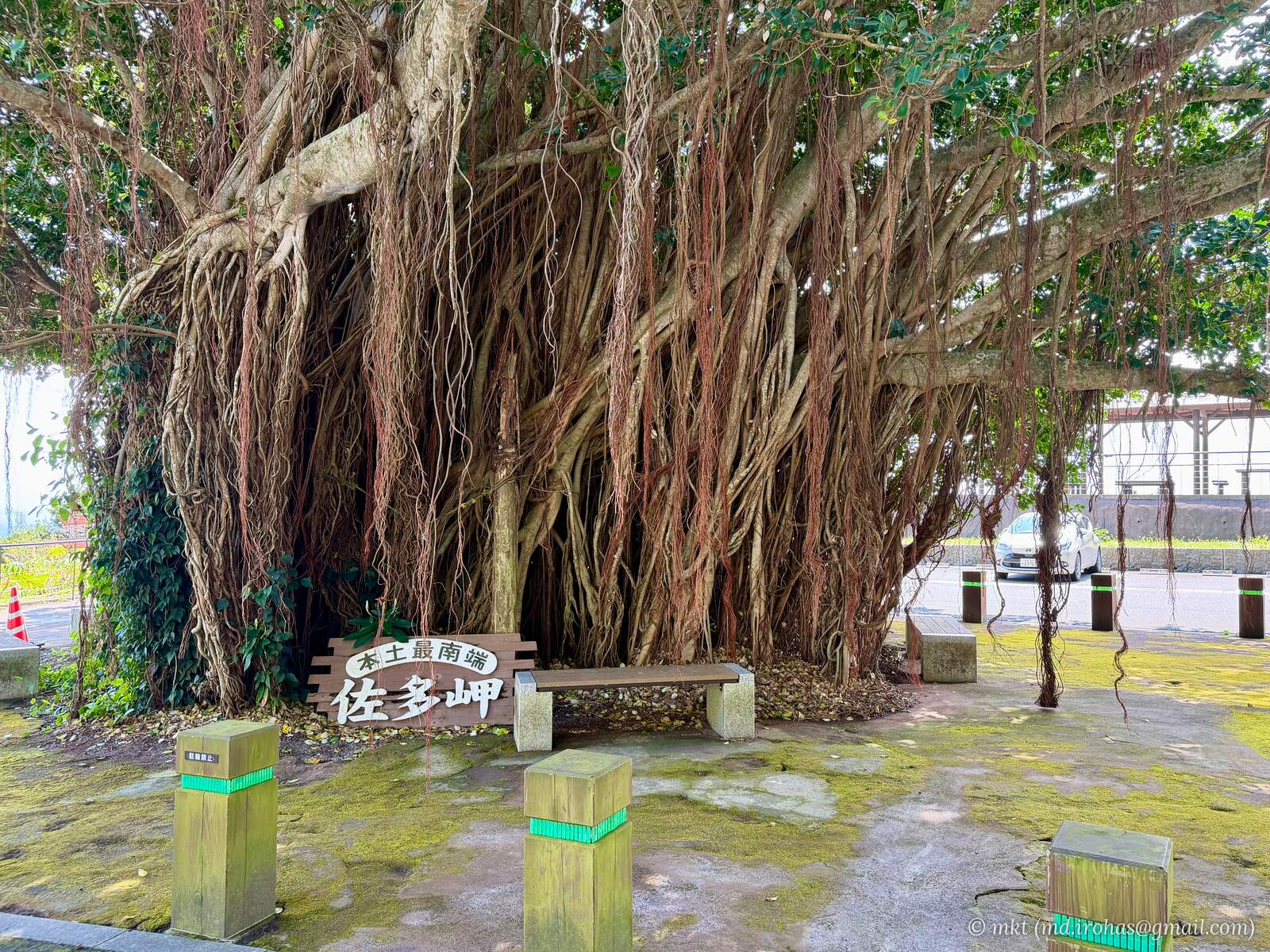
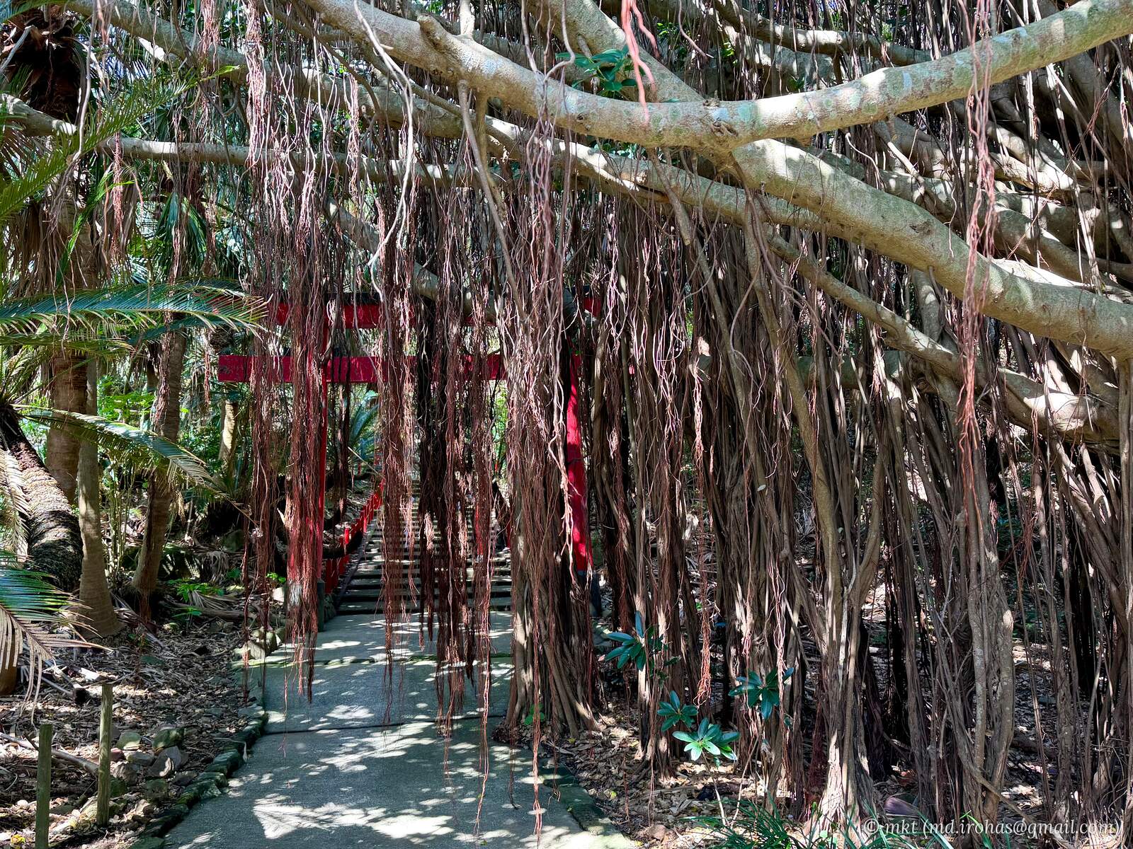
I parked beside the tourist information center. A large gajumaru (Wikipedia), a type of banyan tree, stood next to the parking lot.
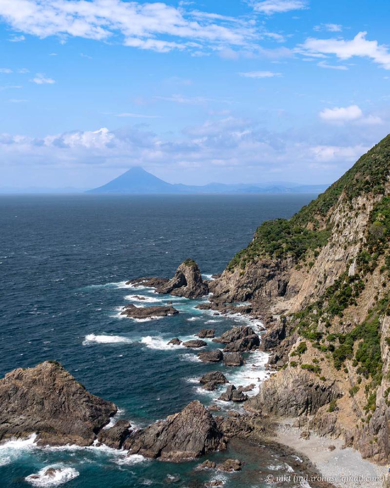
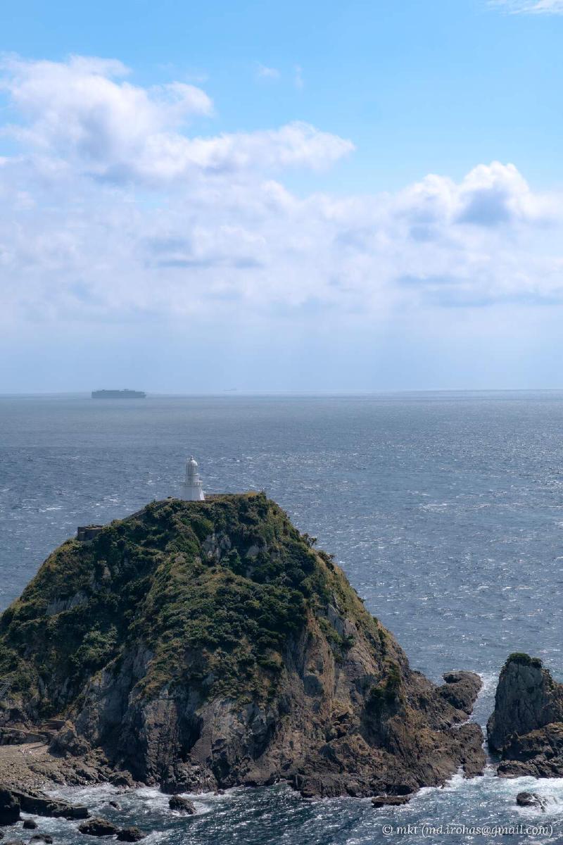
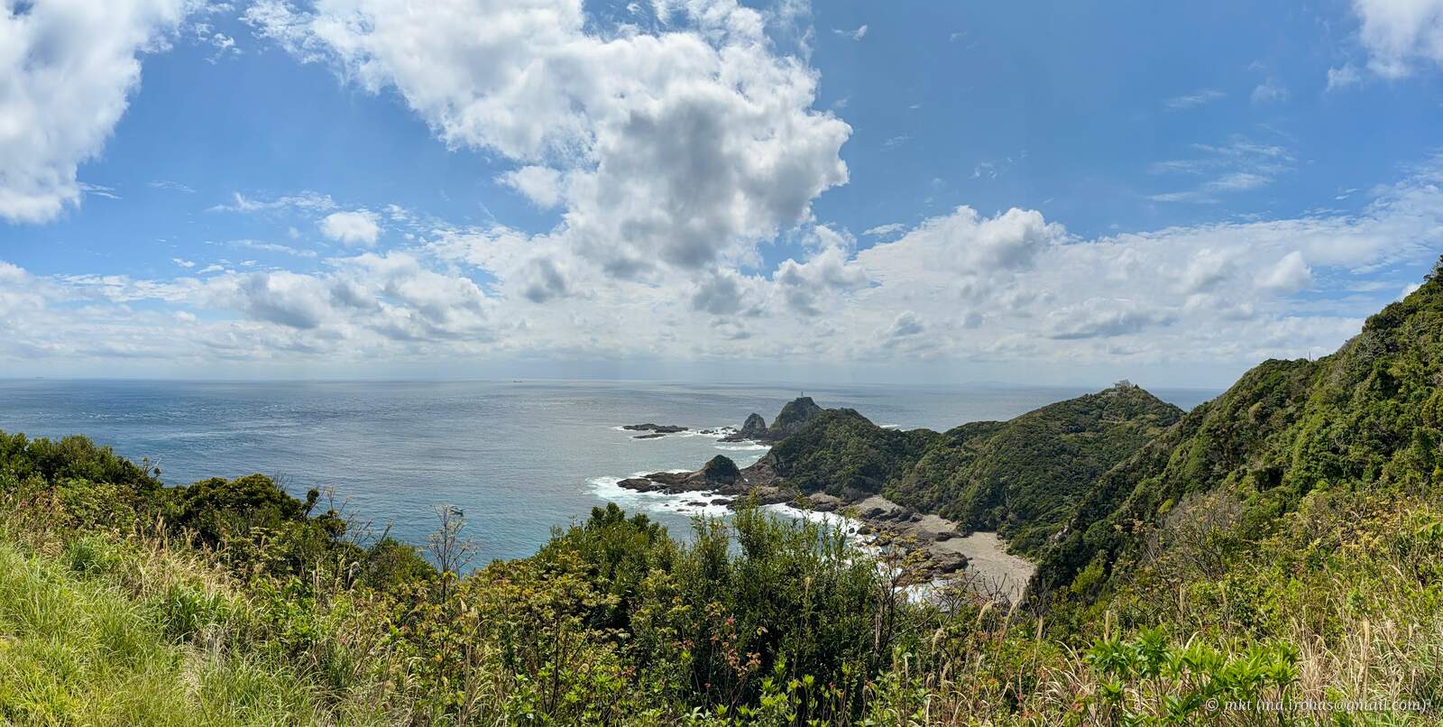
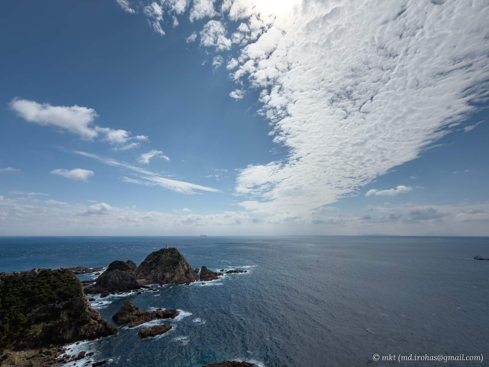
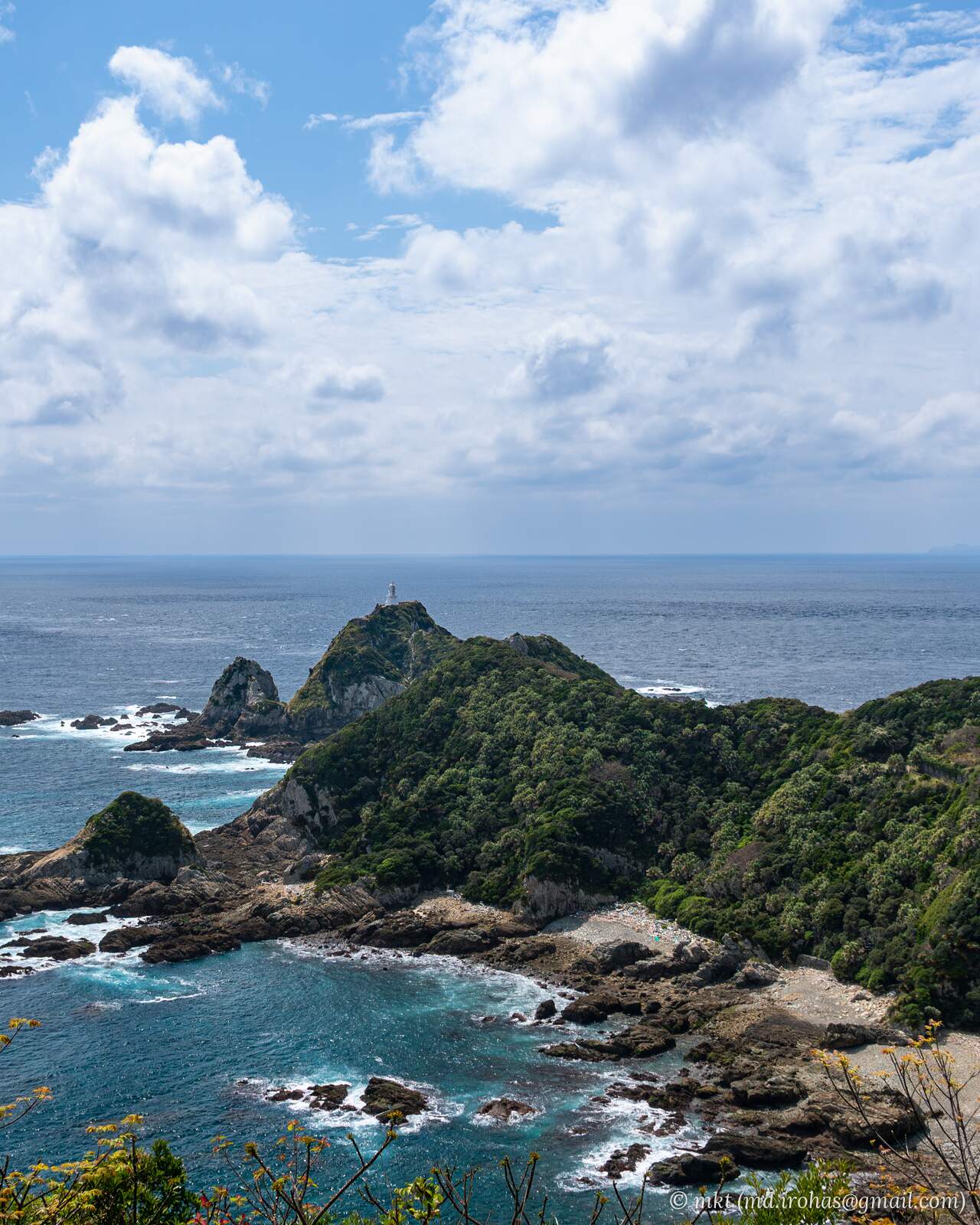
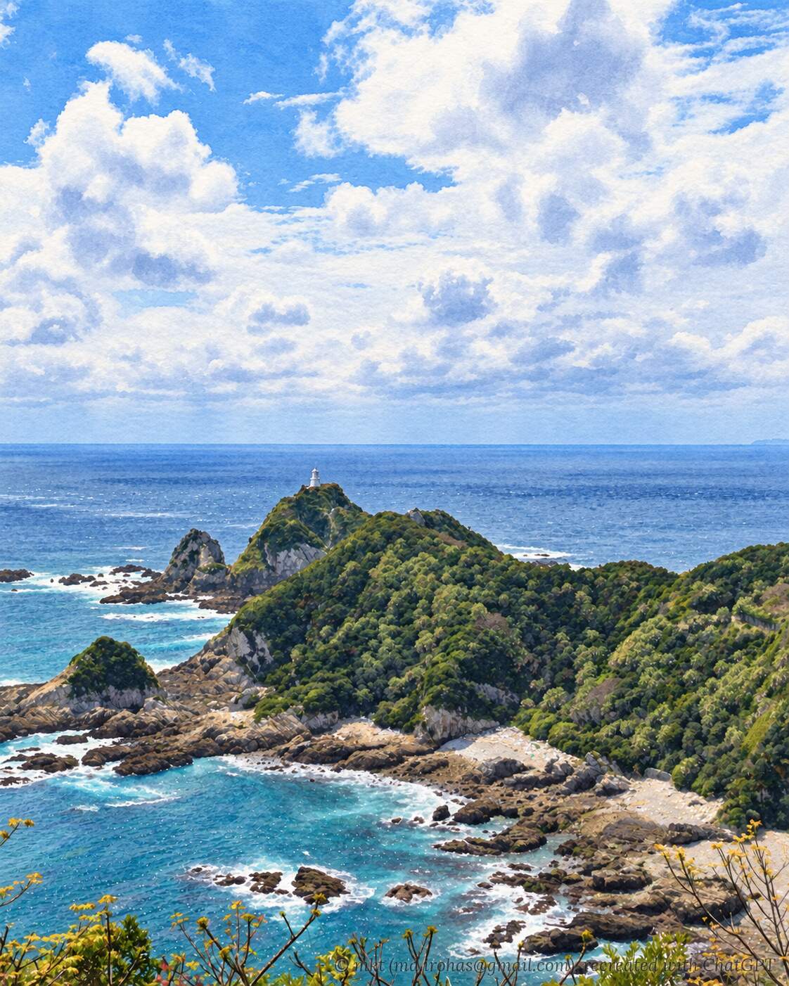
There is a lookout beside the parking lot with a broad view of Cape Sata. Thankfully, the sky had finally cleared.
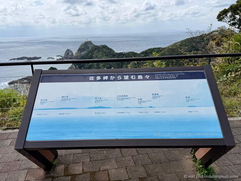
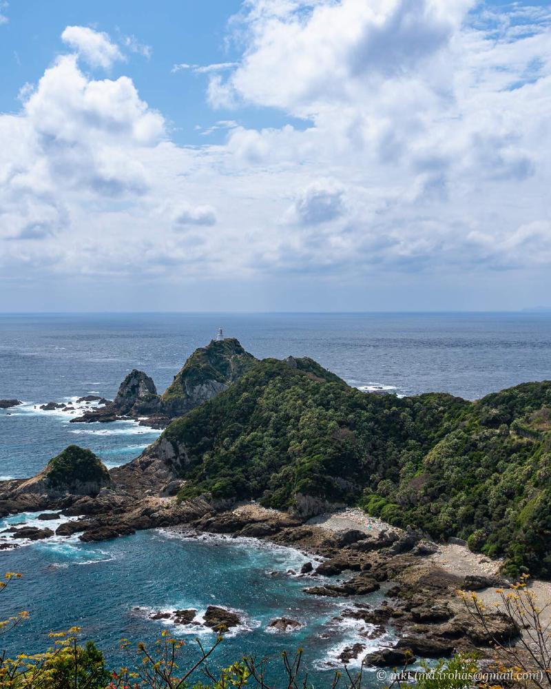
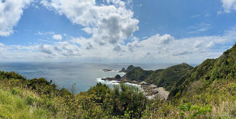
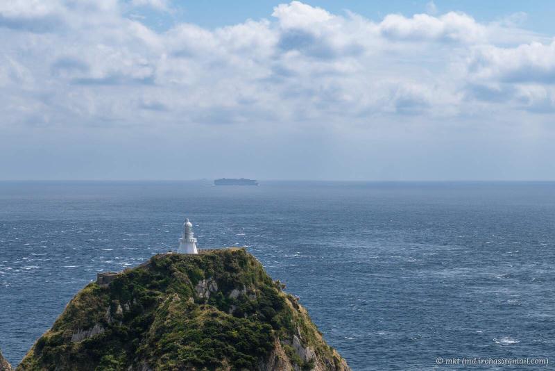
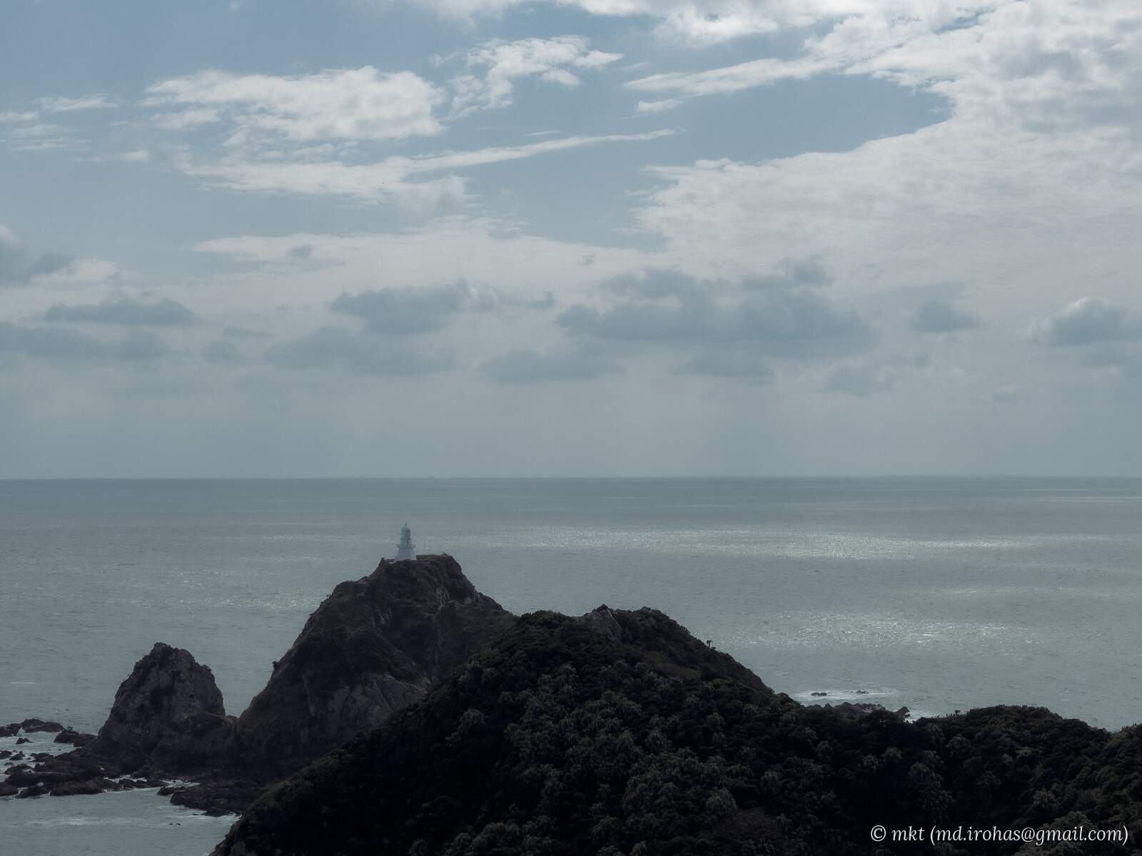
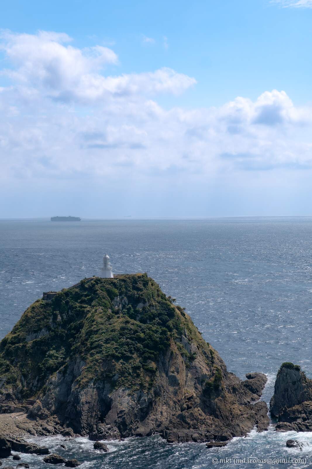
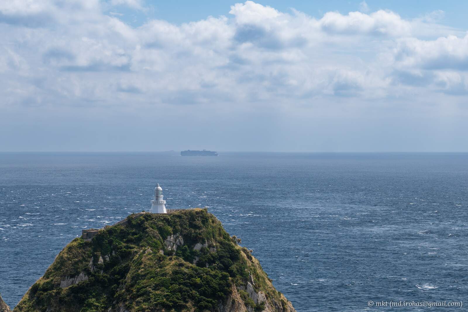
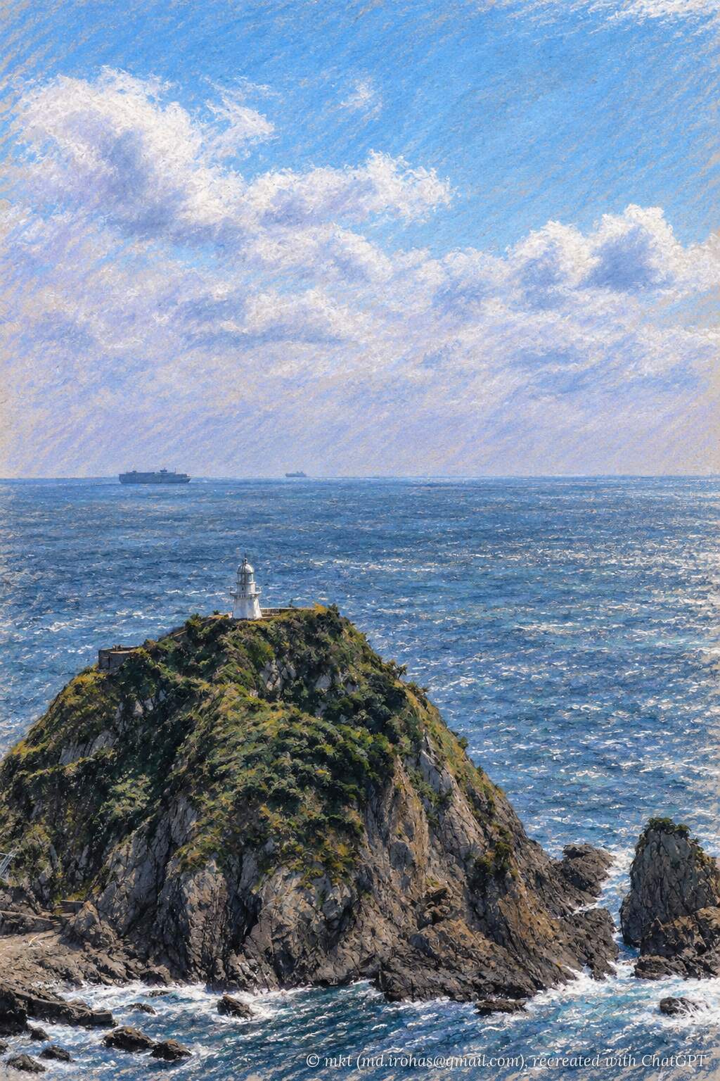
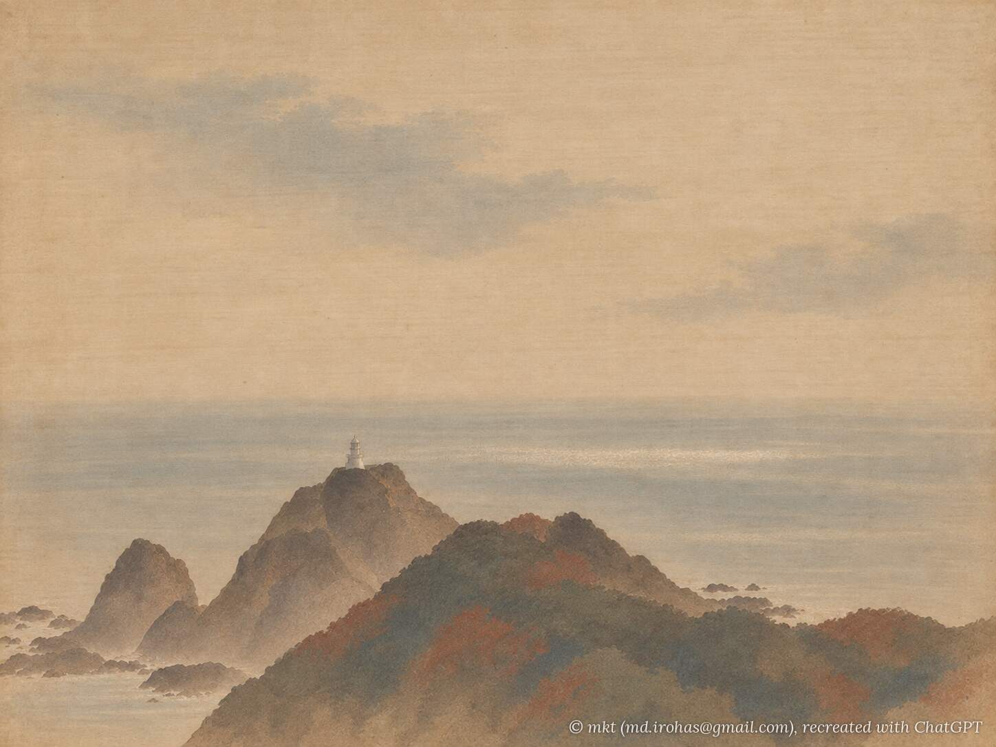
Cape Sata Lighthouse, visible in the photos, stands on an offshore island and cannot be reached by the walking trail. My destination was Cape Sata Observation Deck, visible on the right side of the panorama.
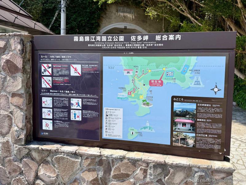
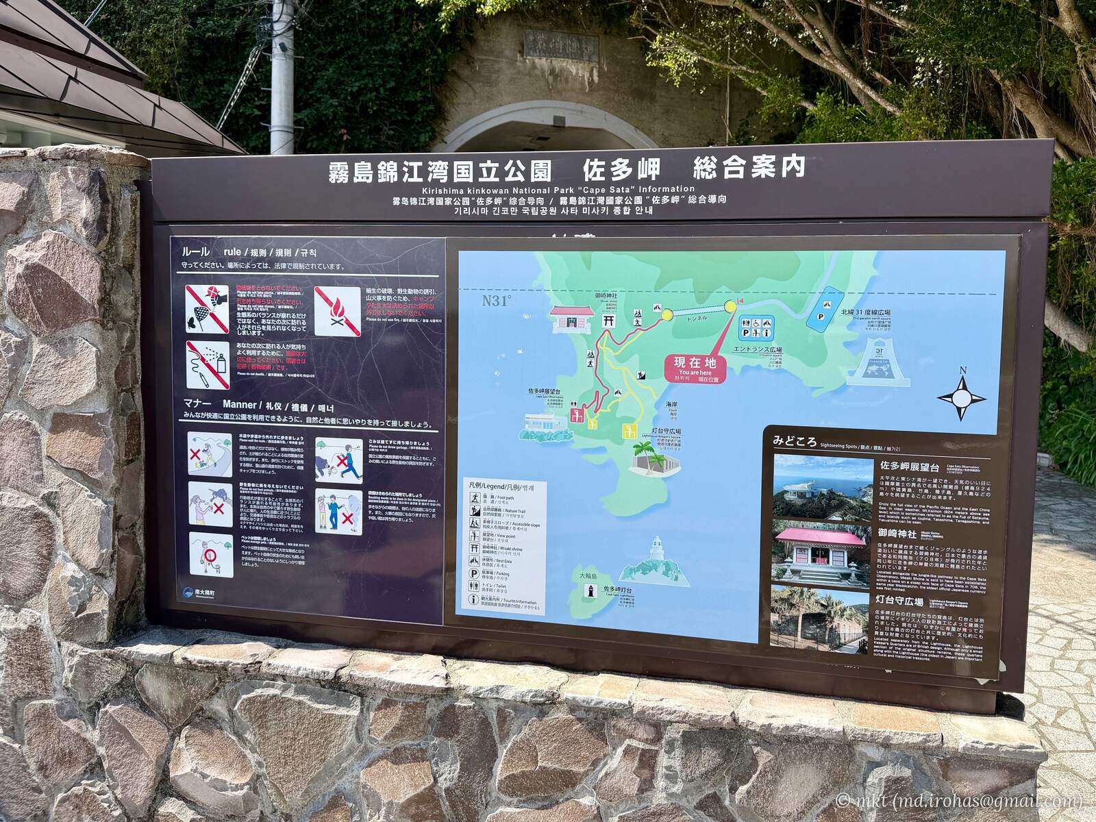
The observation deck is about an 800-meter walk from the tourist information center. I followed the red route on the trail map on the way out and returned along the yellow route via the former lighthouse keepers’ quarters.
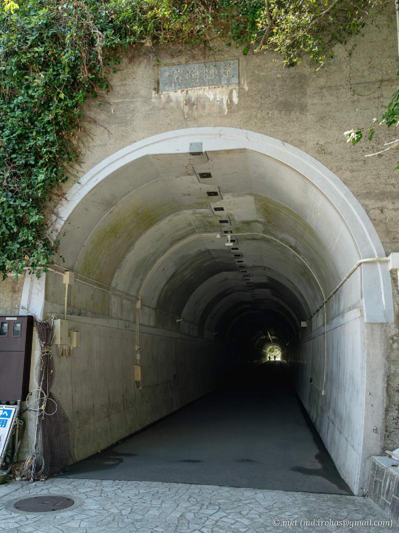
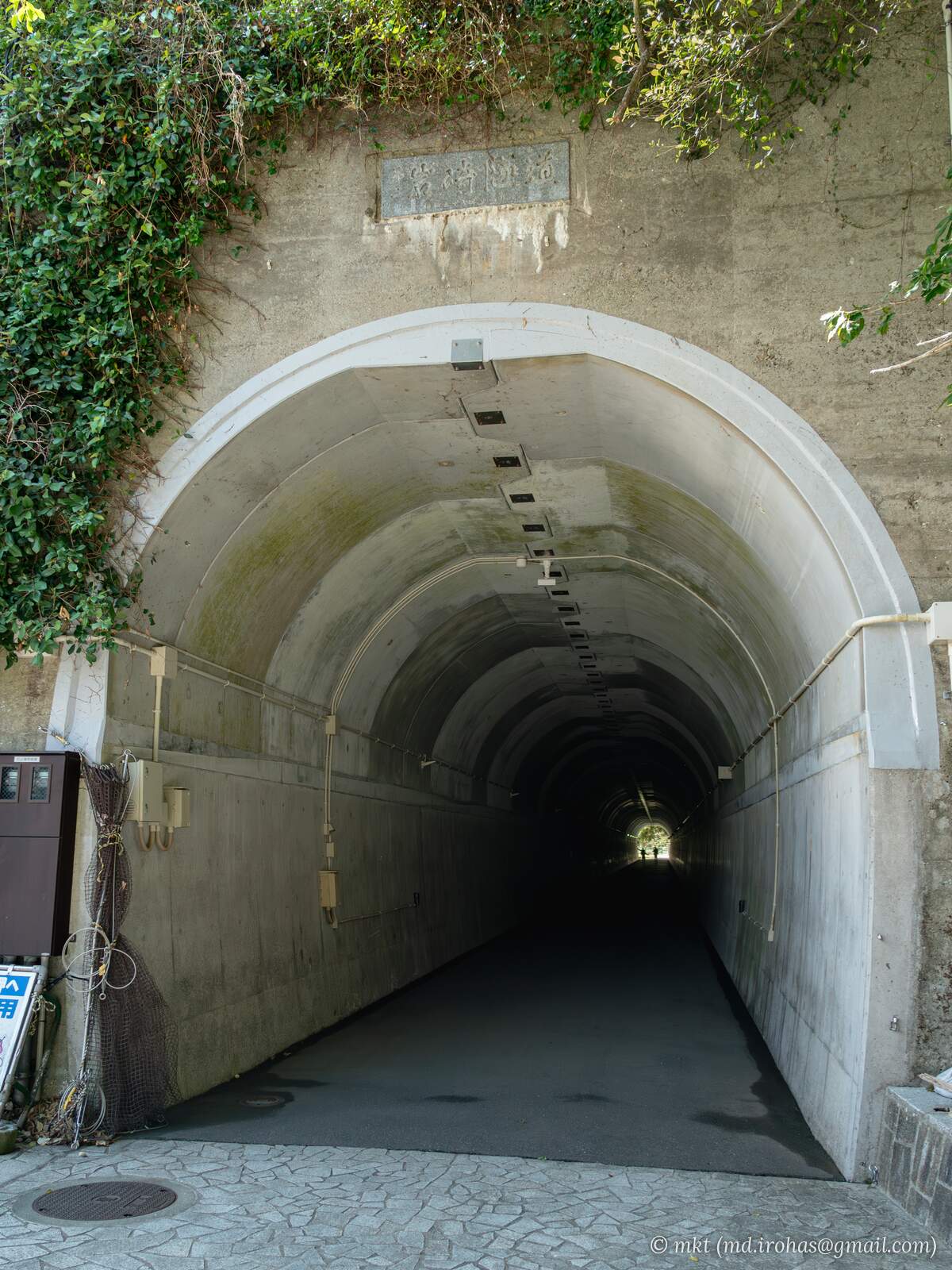
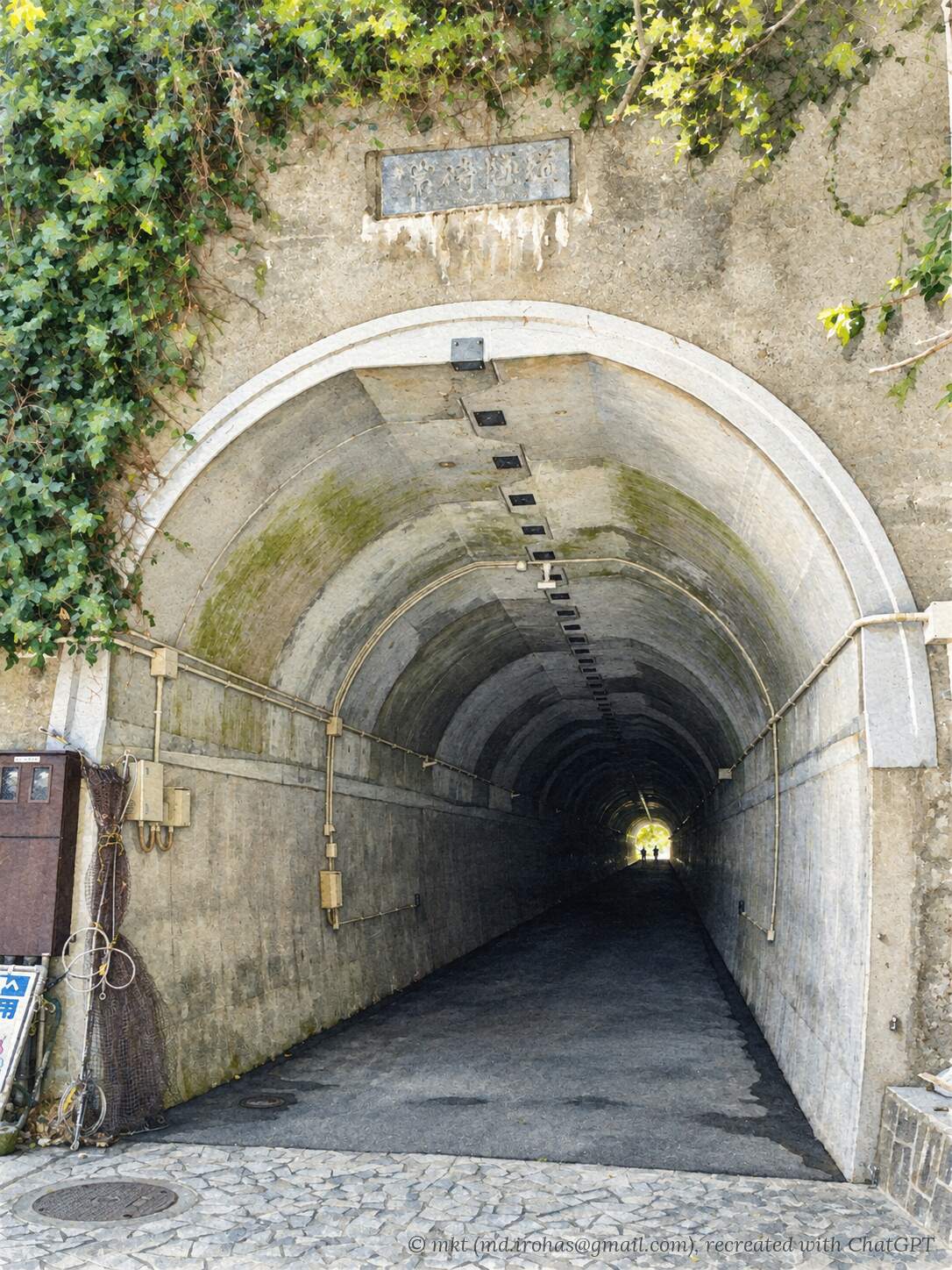
The trail begins with a tunnel beside the tourist information center.
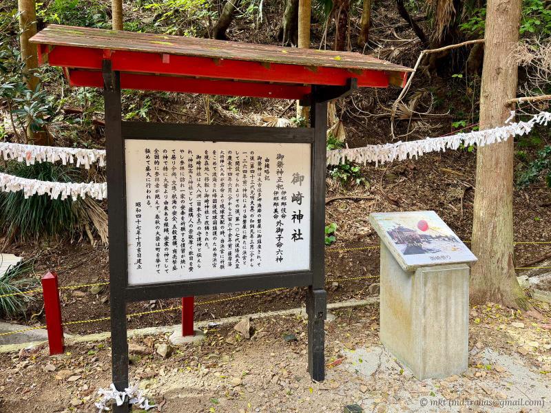
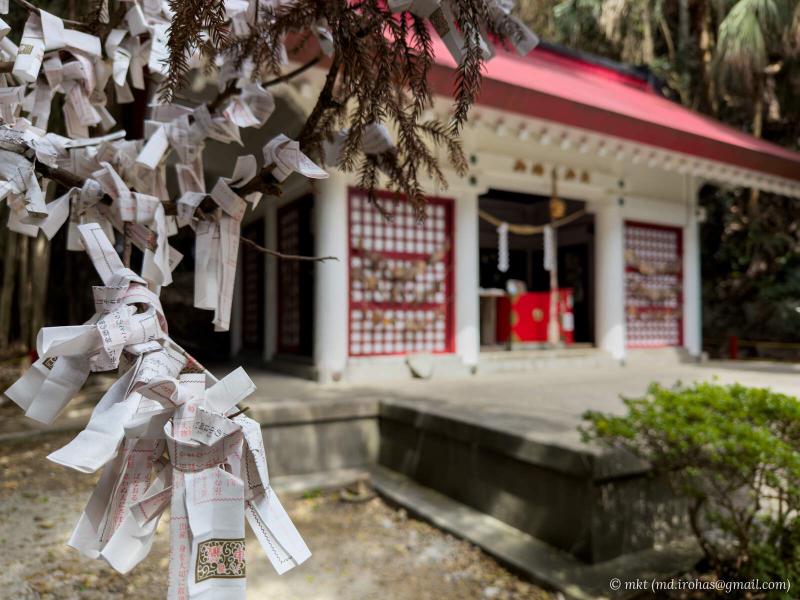
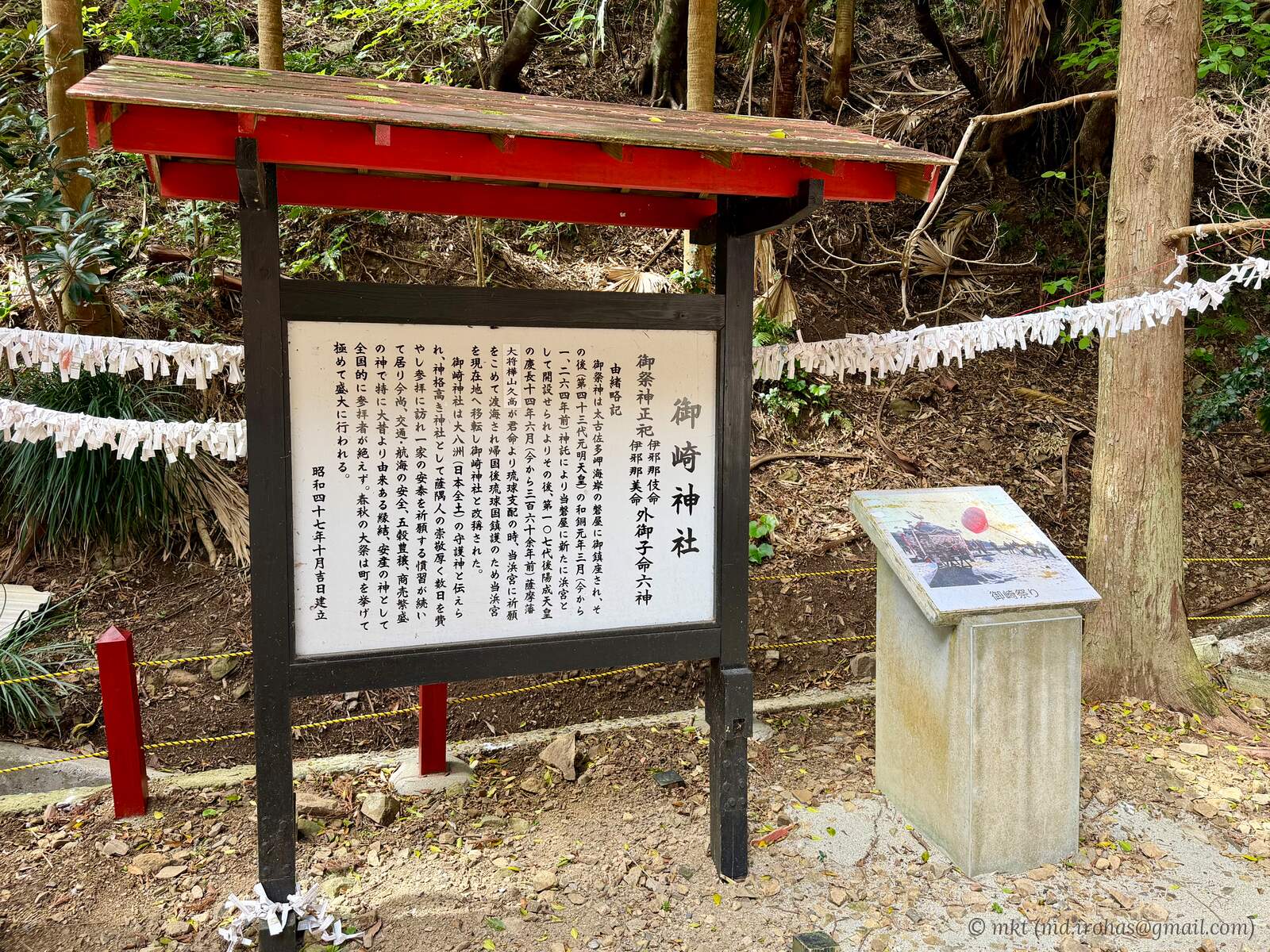
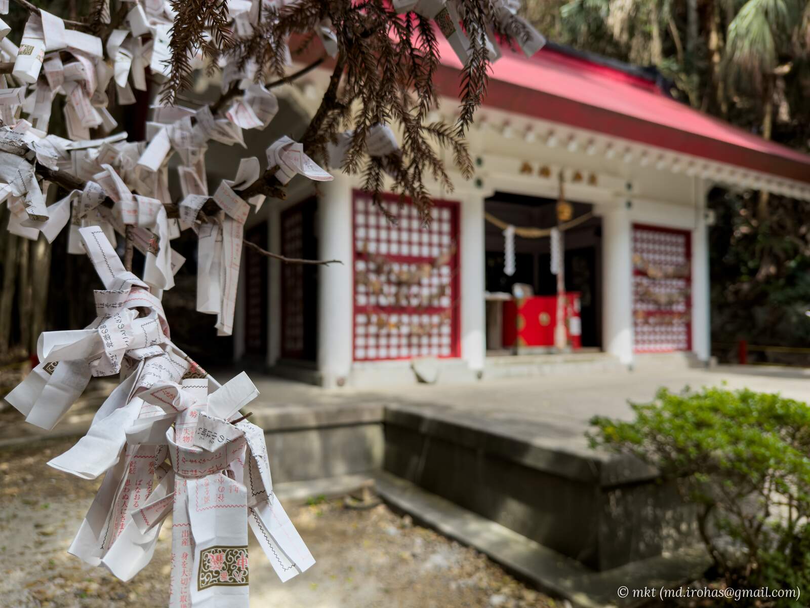
After passing through the tunnel and walking a little farther, I reached Misaki Shrine.
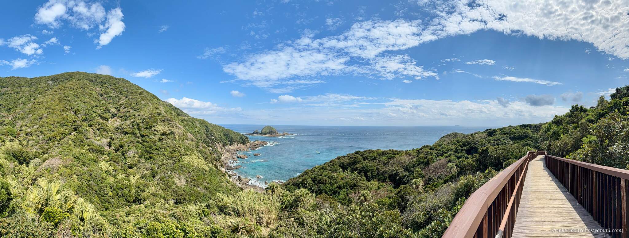
Beyond the shrine, a wooden ramp leads up toward the observation deck.
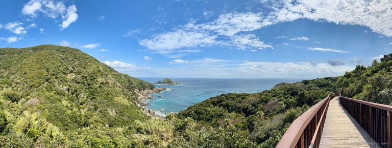
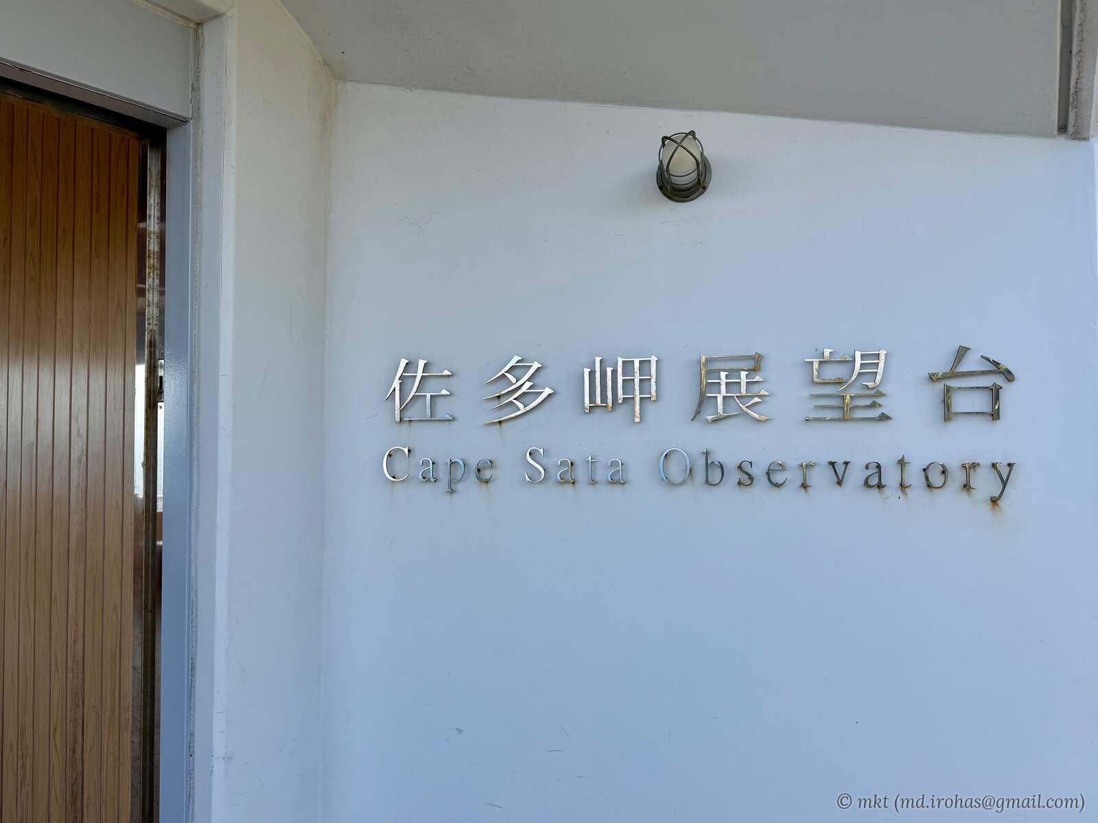
At the top of the ramp, I arrived at Cape Sata Observation Deck.
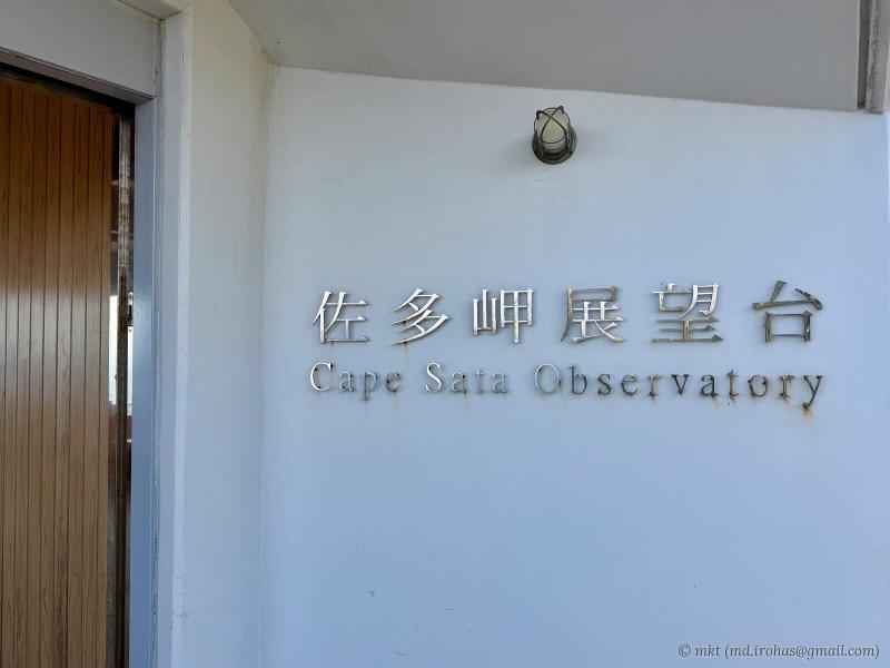
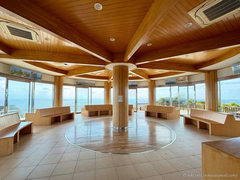
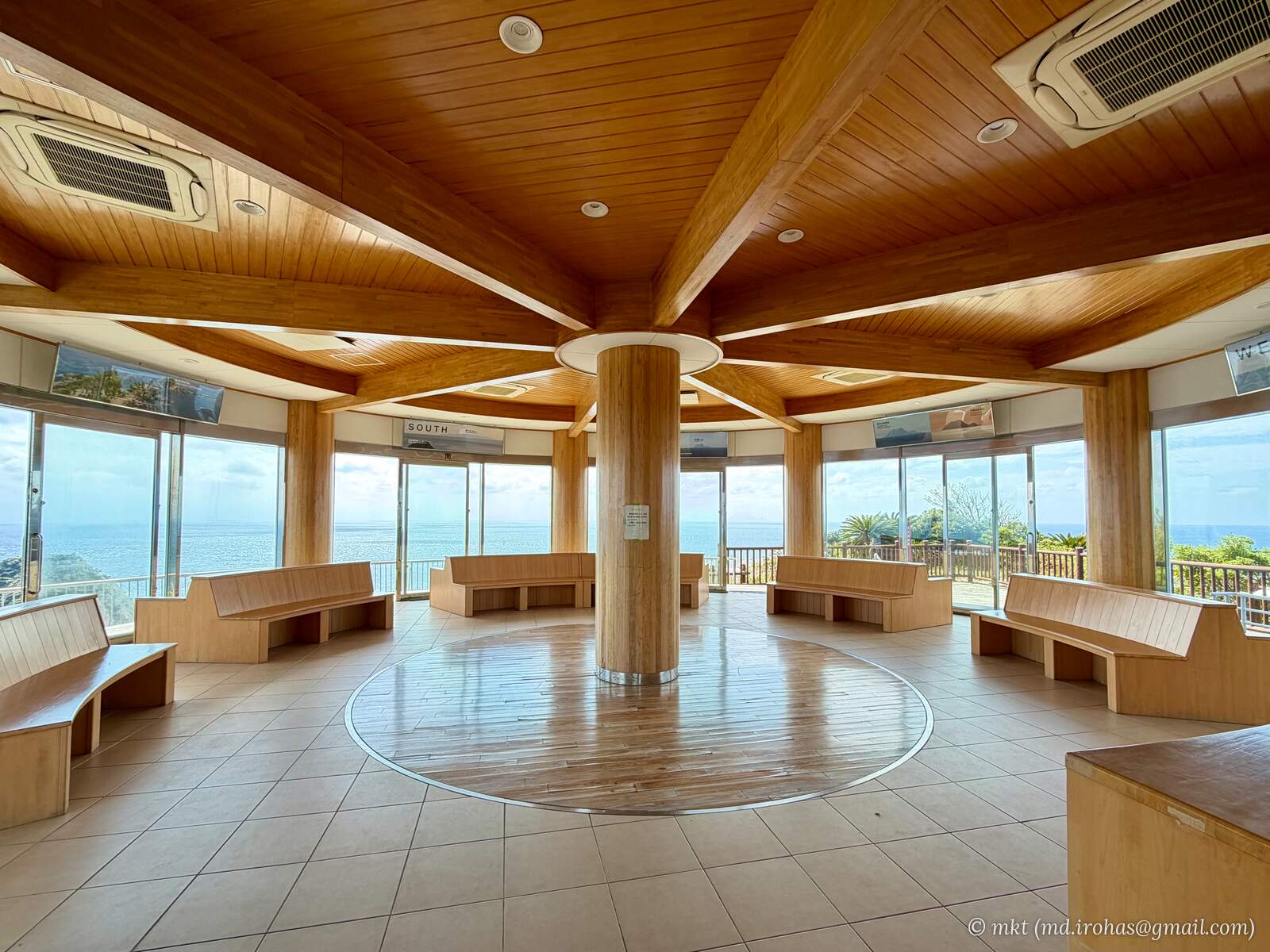
The building has an indoor rest area and a rooftop viewing area.
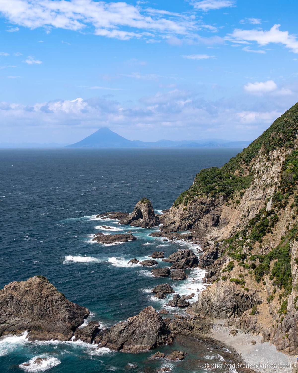
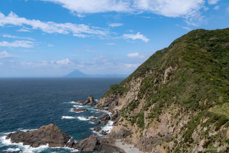
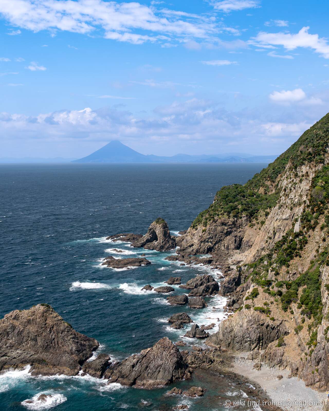
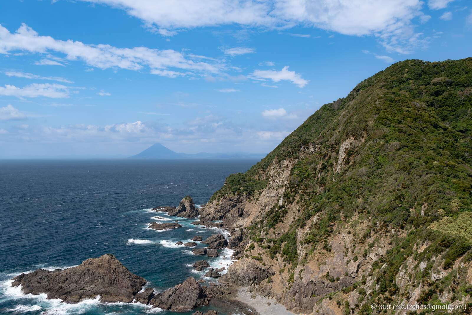
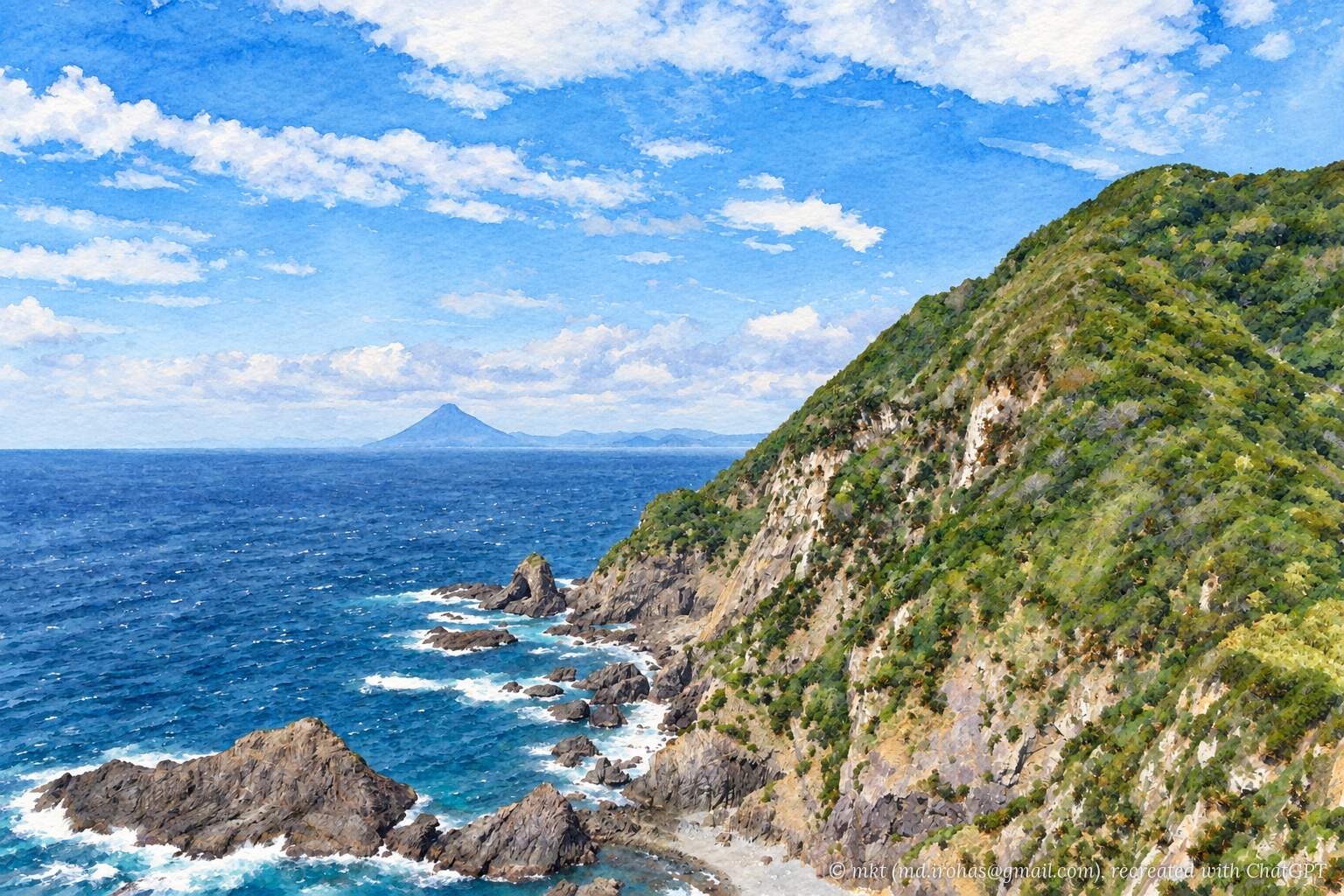
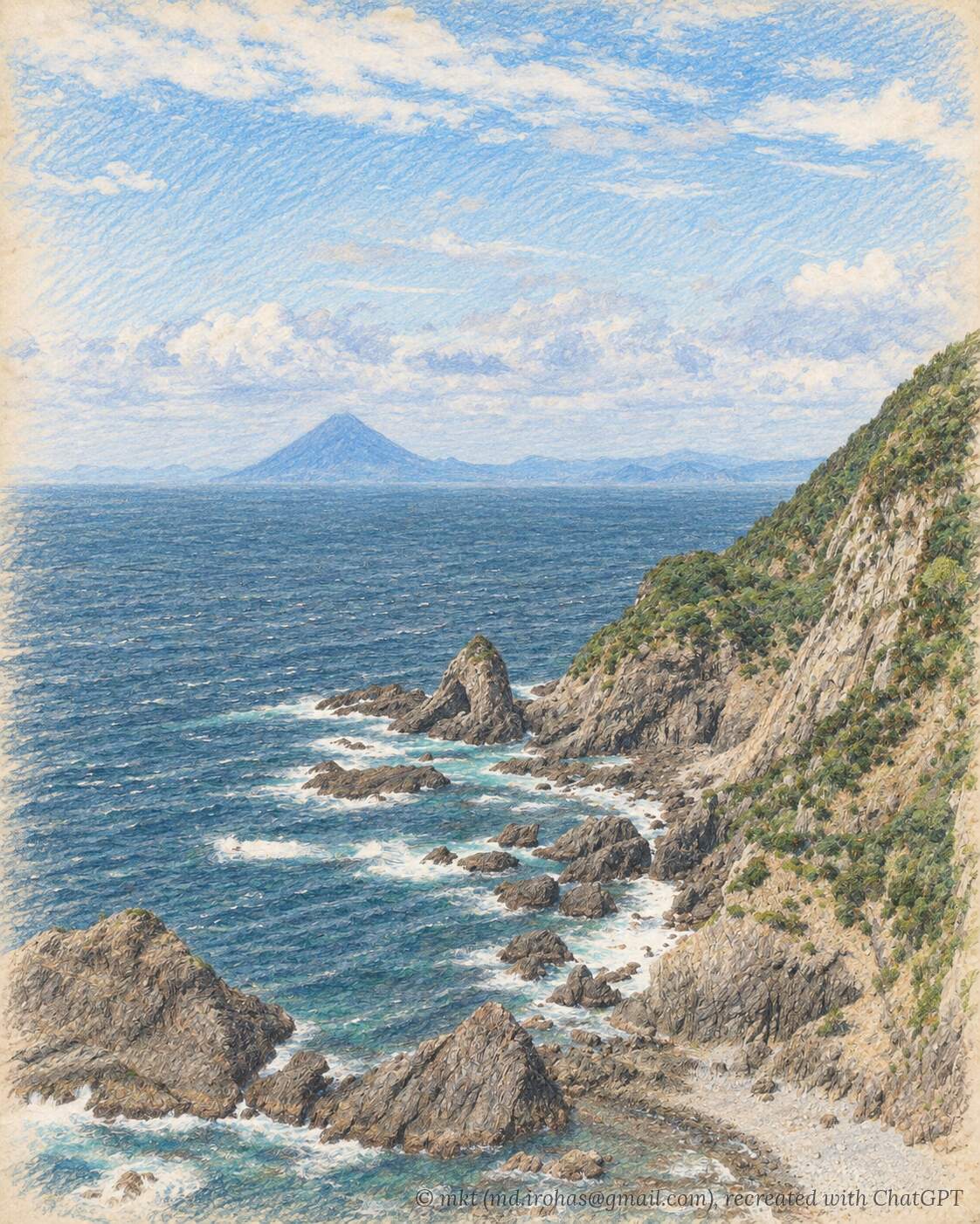
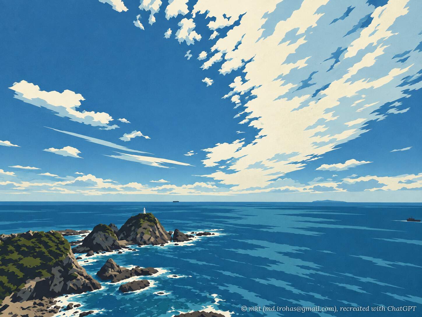
To the west, the rugged coastline stretches into the distance, with Mount Kaimon on the Satsuma Peninsula visible beyond it.
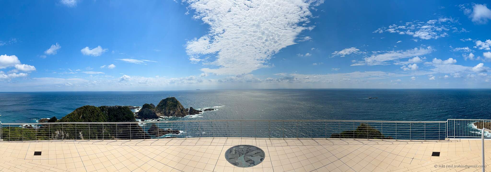
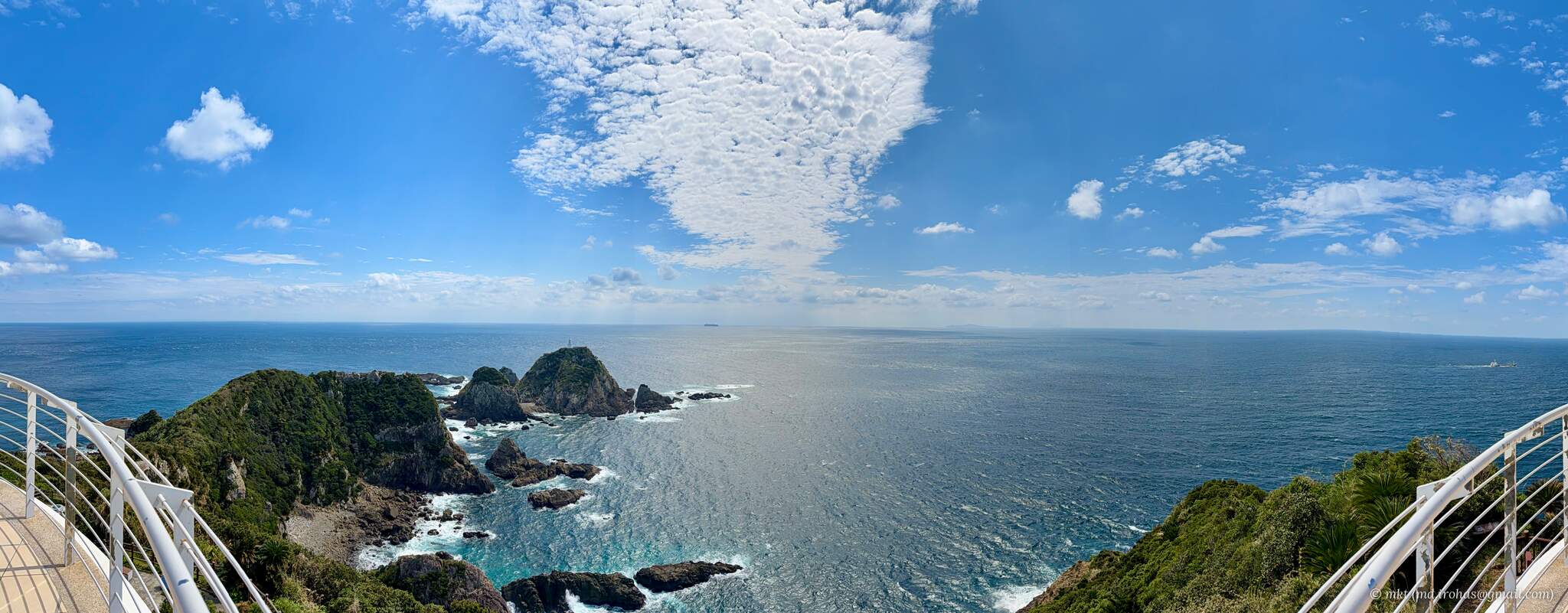
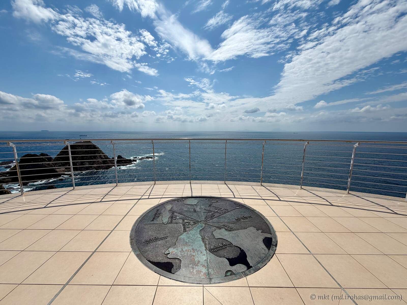
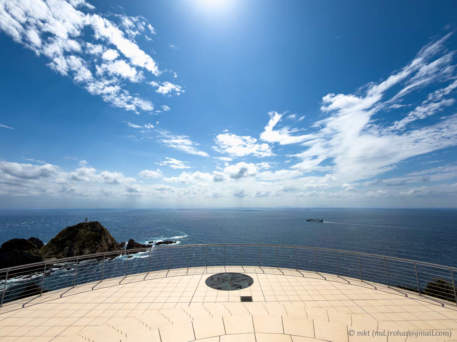
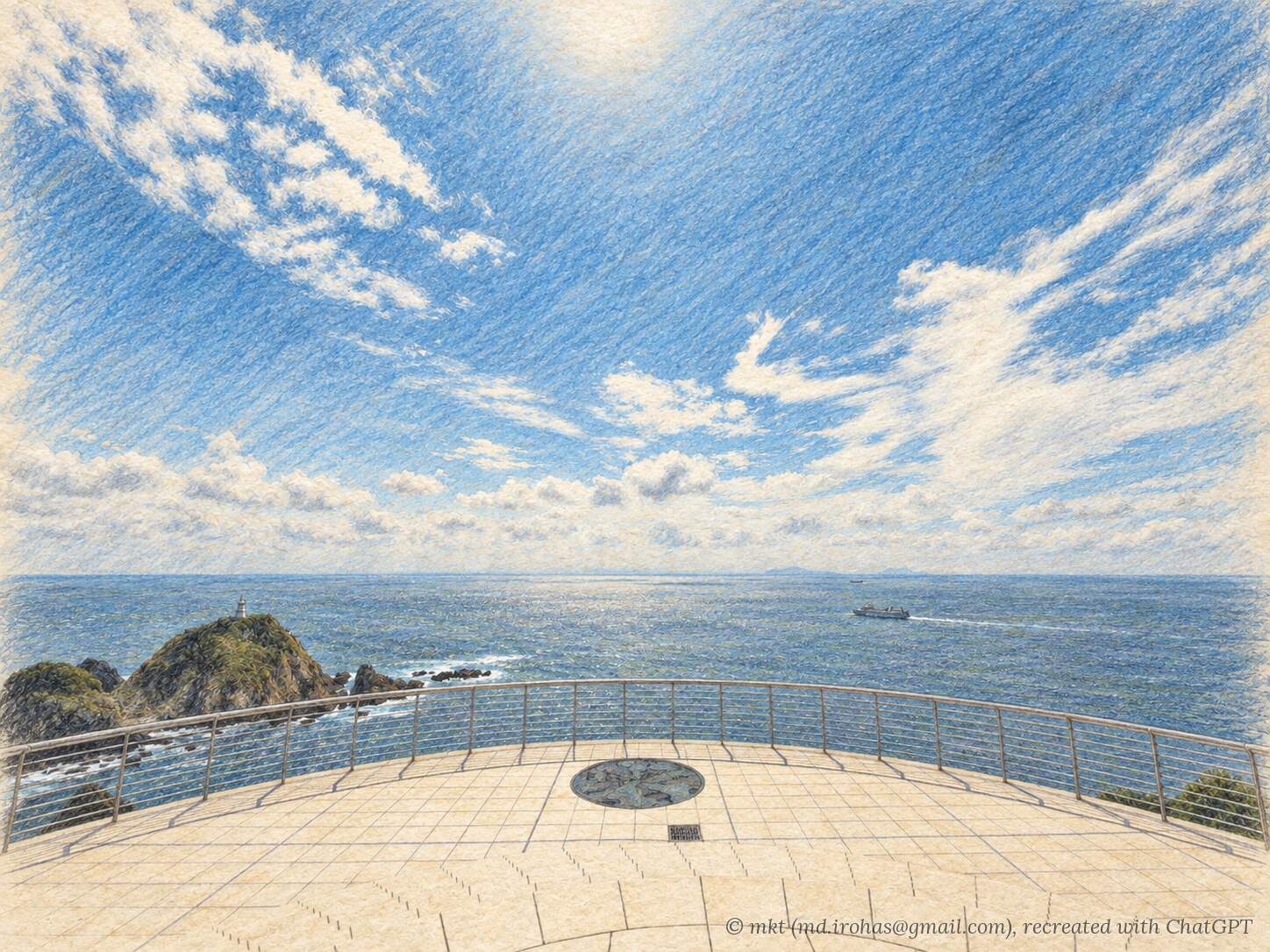
Stepping onto the rooftop, I was greeted by an uninterrupted view of the sea and the horizon.
The wind was very strong, but the sense of openness was hard to beat. I would certainly recommend a visit.
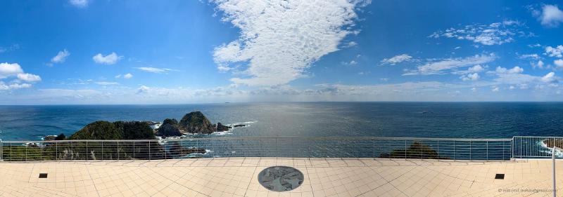
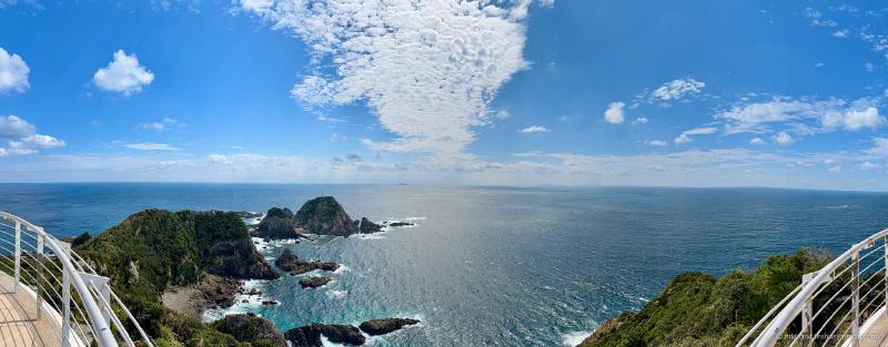
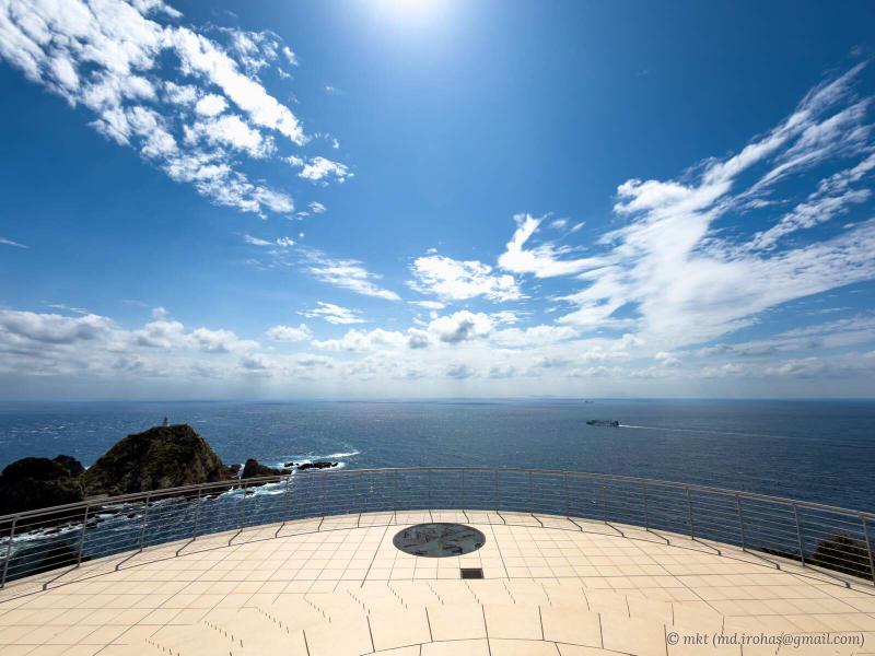
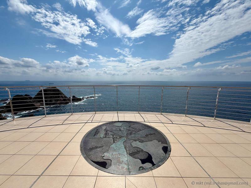
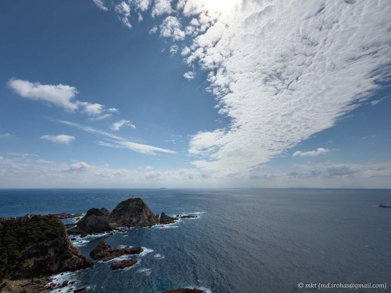
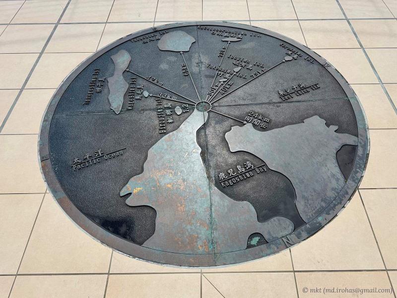
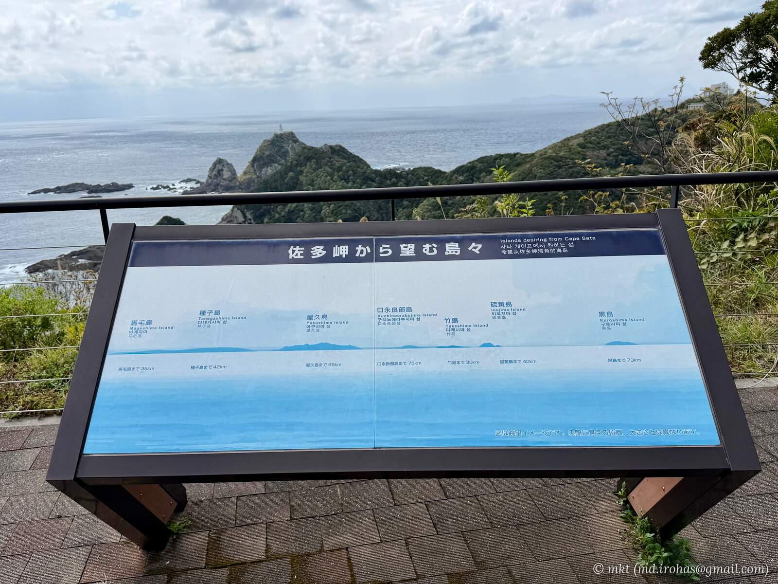
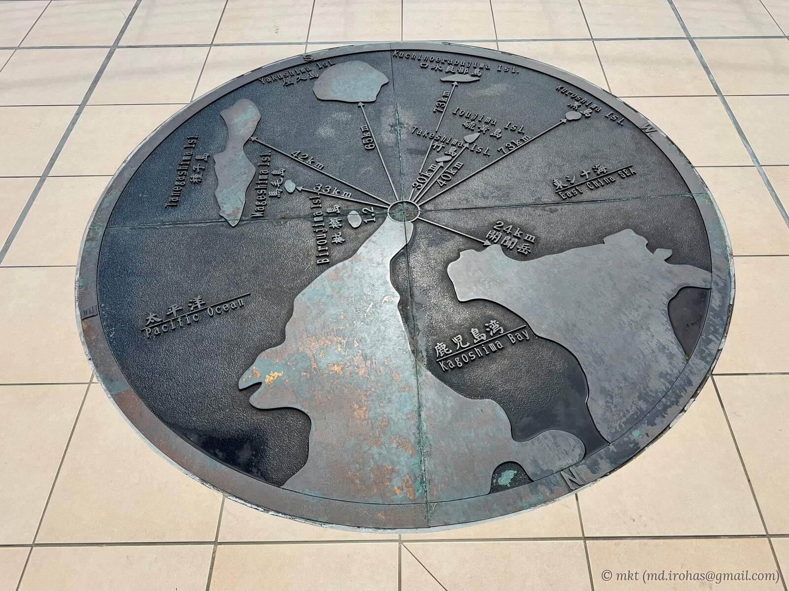
Set into the rooftop floor is a circular map showing the directions and distances to nearby islands and Mount Kaimon.
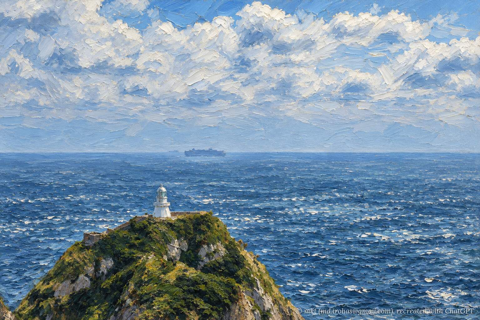
The rooftop also offers a view of Cape Sata Lighthouse a little way off in the distance.
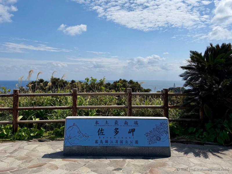
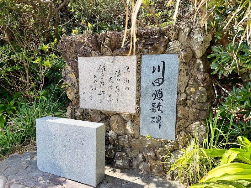
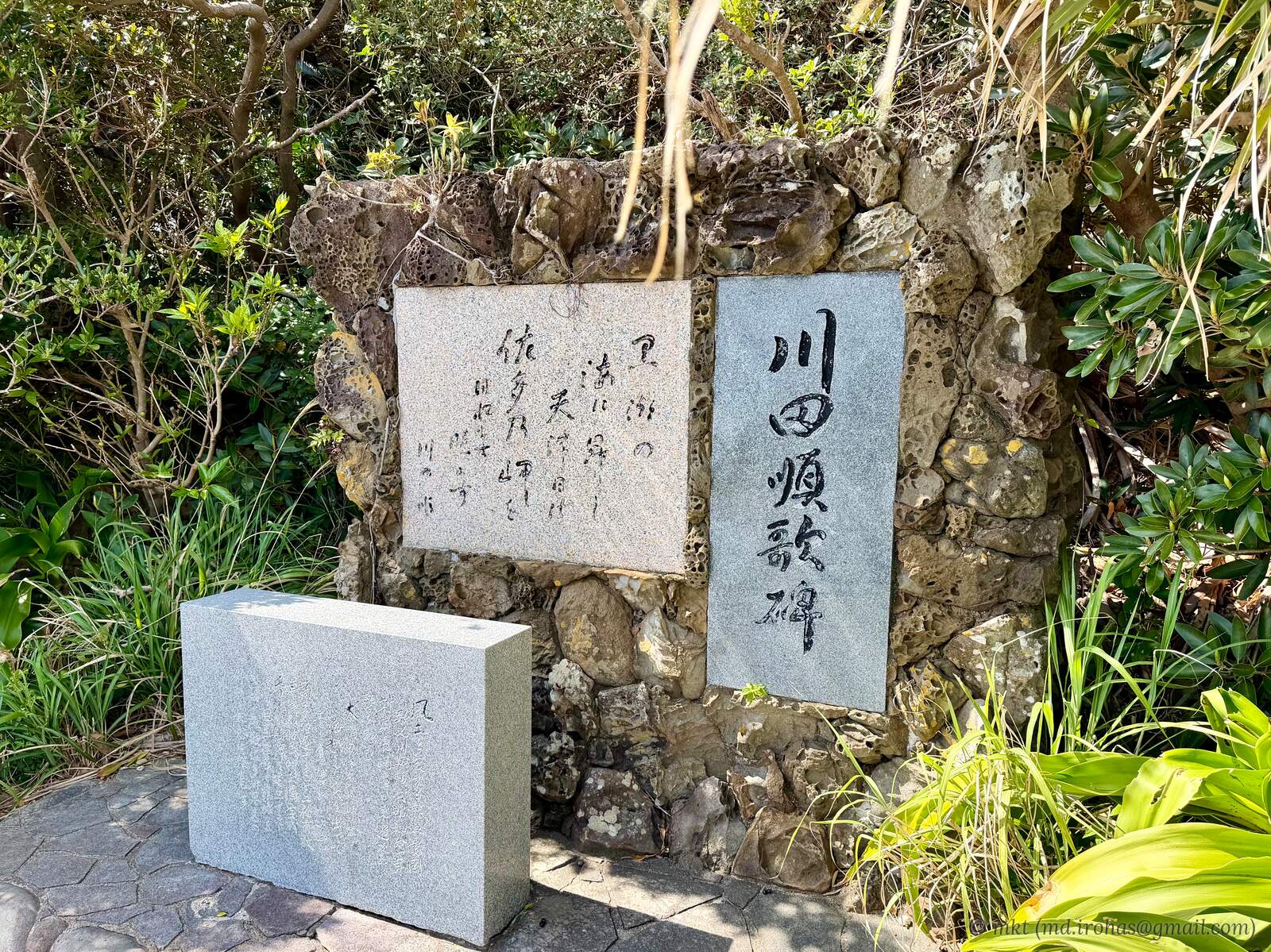
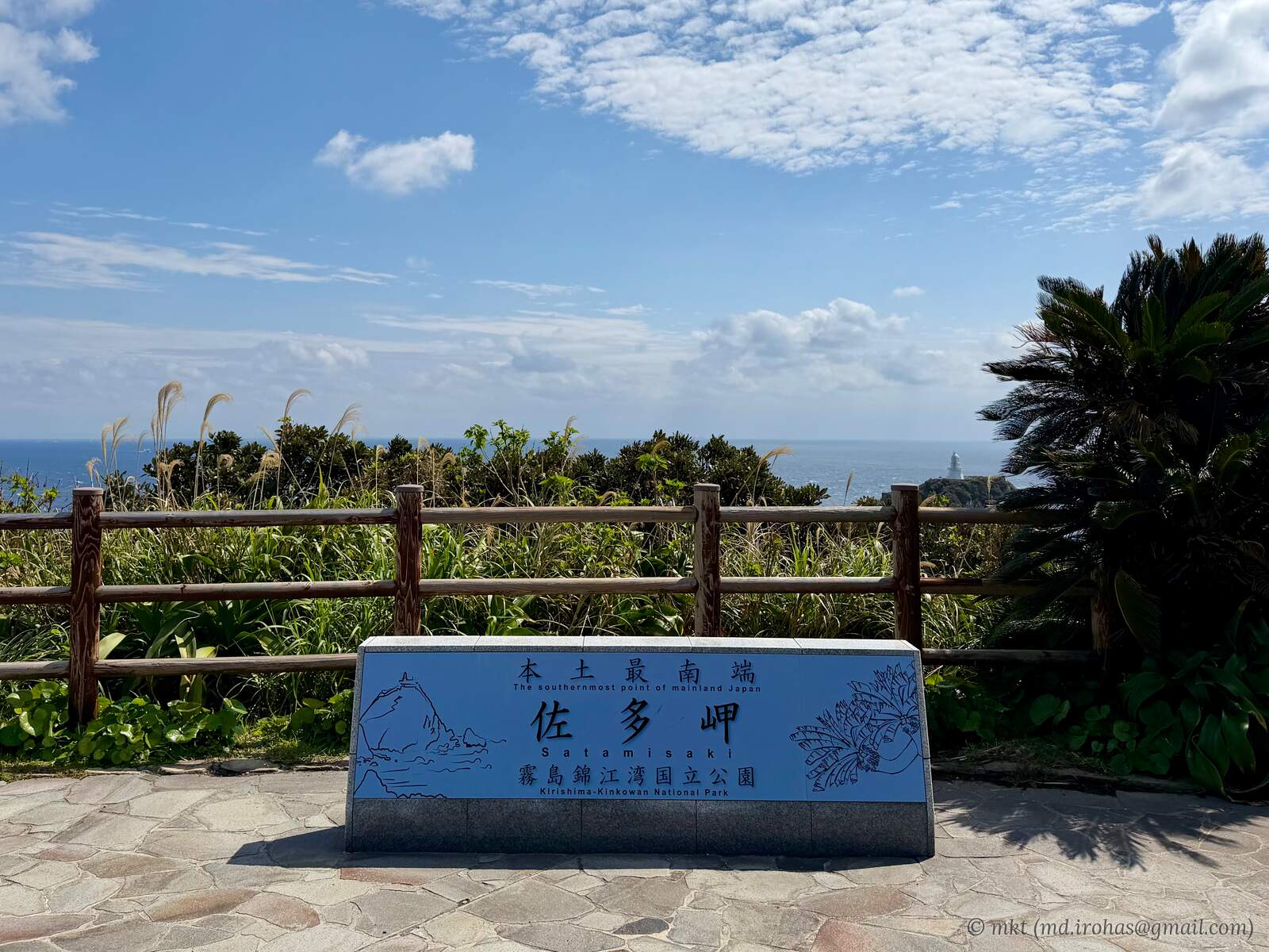
Down the stairs beside the observation deck are a sign marking Cape Sata as the southernmost point of mainland Japan and a stone monument inscribed with a poem by Jun Kawada (Wikipedia).
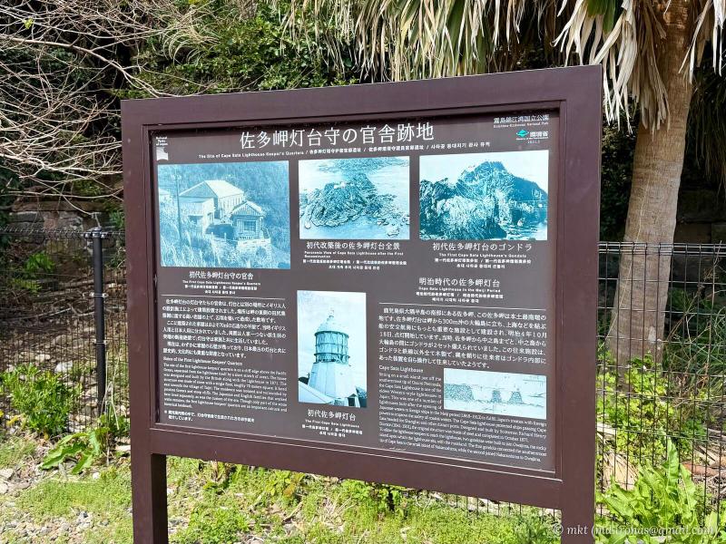
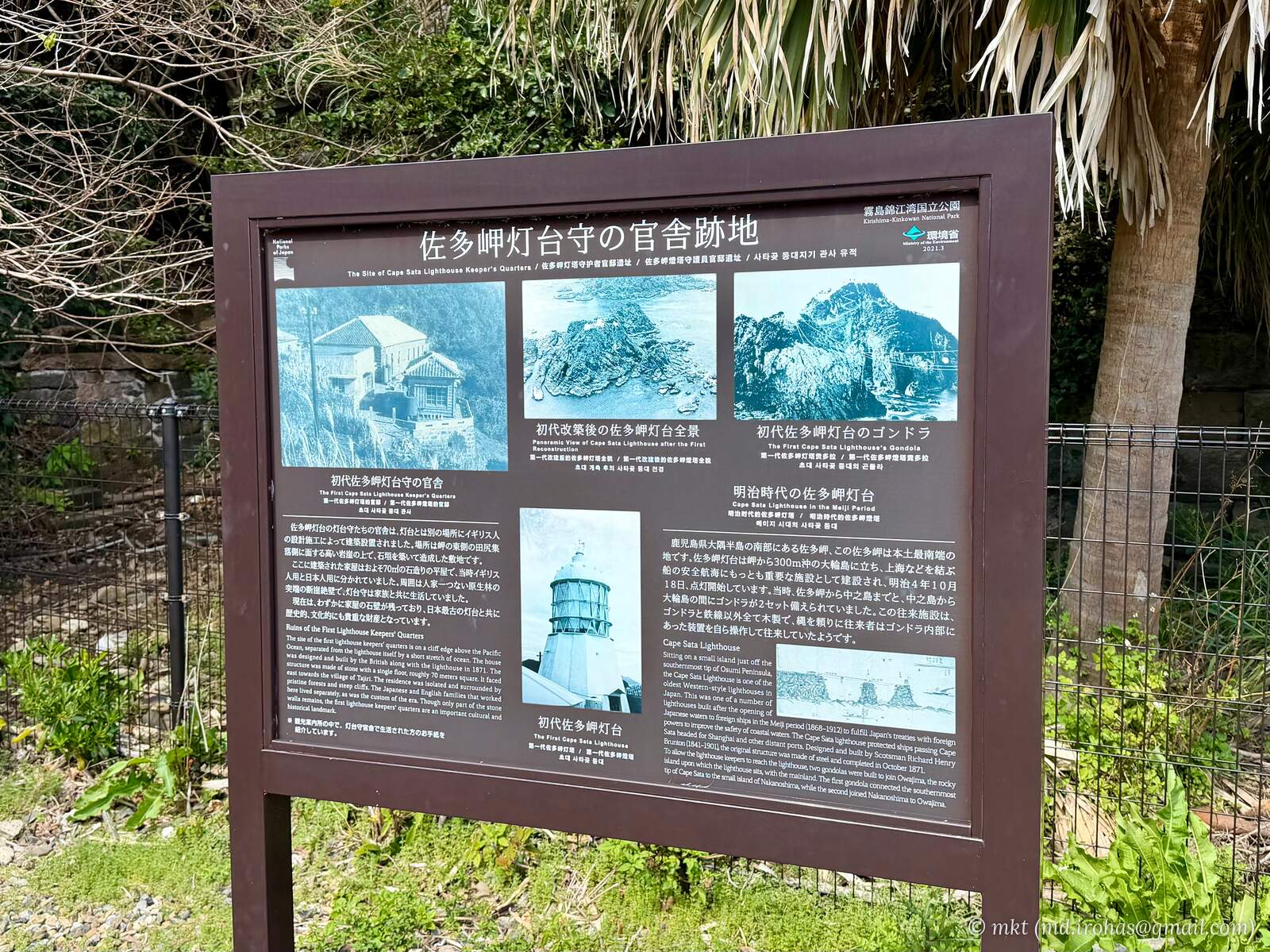
Continuing farther down the steps, I reached the site of the former lighthouse keepers’ quarters.
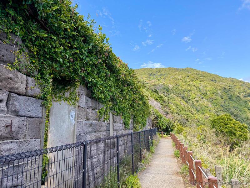
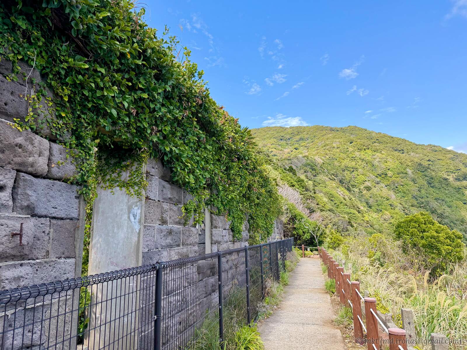
The return route took me along a different path, surrounded by lush subtropical trees.
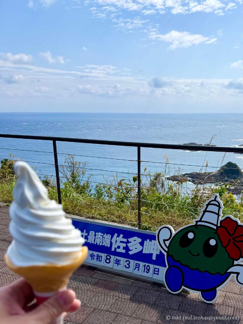
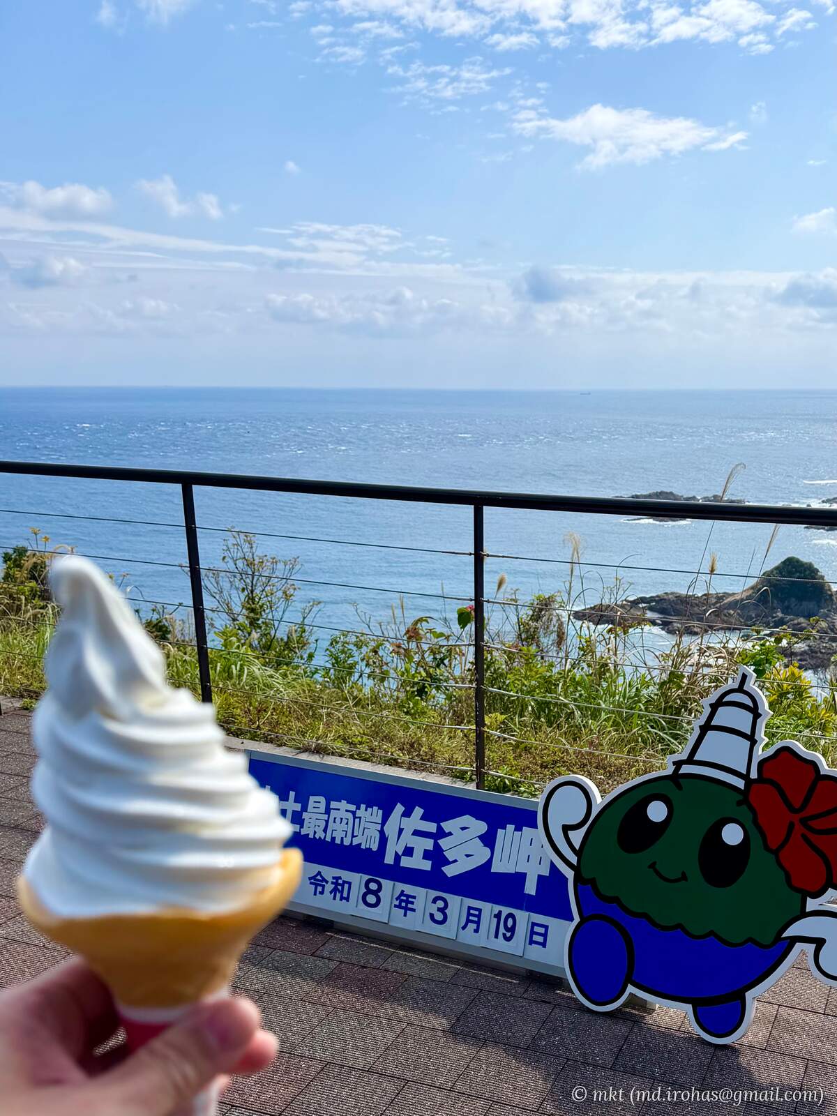
Back at the tourist information center, I bought a soft-serve ice cream from the shop and headed to the nearby lookout once more.
I took a photo with the “southernmost point of mainland Japan” sign and enjoyed one last view of the cape and lighthouse.
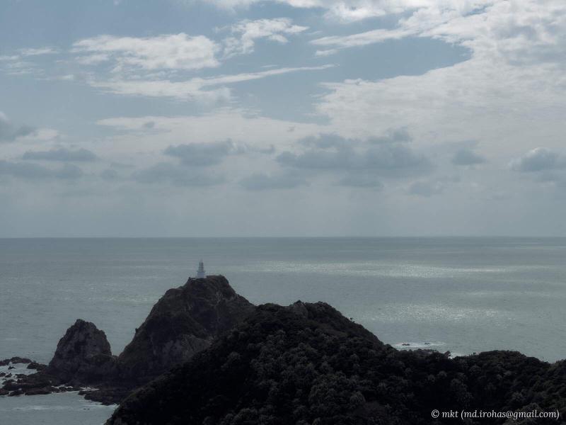
With that, my walk around Cape Sata came to an end, and I drove back to Kagoshima City.
Gallery #
License: CC BY-NC-SA 4.0
You can view the high-resolution images in the Google Photos album.
iPhone 17 Pro #
iPhone 17 Pro (RAW) #
You can download the RAW images from Google Drive.
α6500 (RAW) #
You can download the RAW images from Google Drive.
AI-Generated Paintings #

Map #
Change History #
- 2026/09/24: First version.