You can read the Medium version of this article here.
Story #
In March 2026, I took about two weeks off and set out on a road trip from Tokyo to my family home in Nagasaki, just as I had the previous year.
This time, I explored Miyazaki and Kagoshima along the way. In Miyazaki, I visited coastal capes and shrines. In Kagoshima, I spent a day on each of the Satsuma and Osumi peninsulas.
This post covers the outward journey from Tokyo to Nagasaki. I plan to write about the return trip in a separate post.
Timeline #
The outward journey took seven days and covered approximately 2,650 km.
I spent the first two days heading west on the expressways and reached Kyushu on Day 3. After exploring Miyazaki and Kagoshima from Days 3 to 6, I drove to my family home in Nagasaki on Day 7.
-
Day 1: Tokyo (Home) → Shiga
I left home in Tokyo at around 10 a.m.
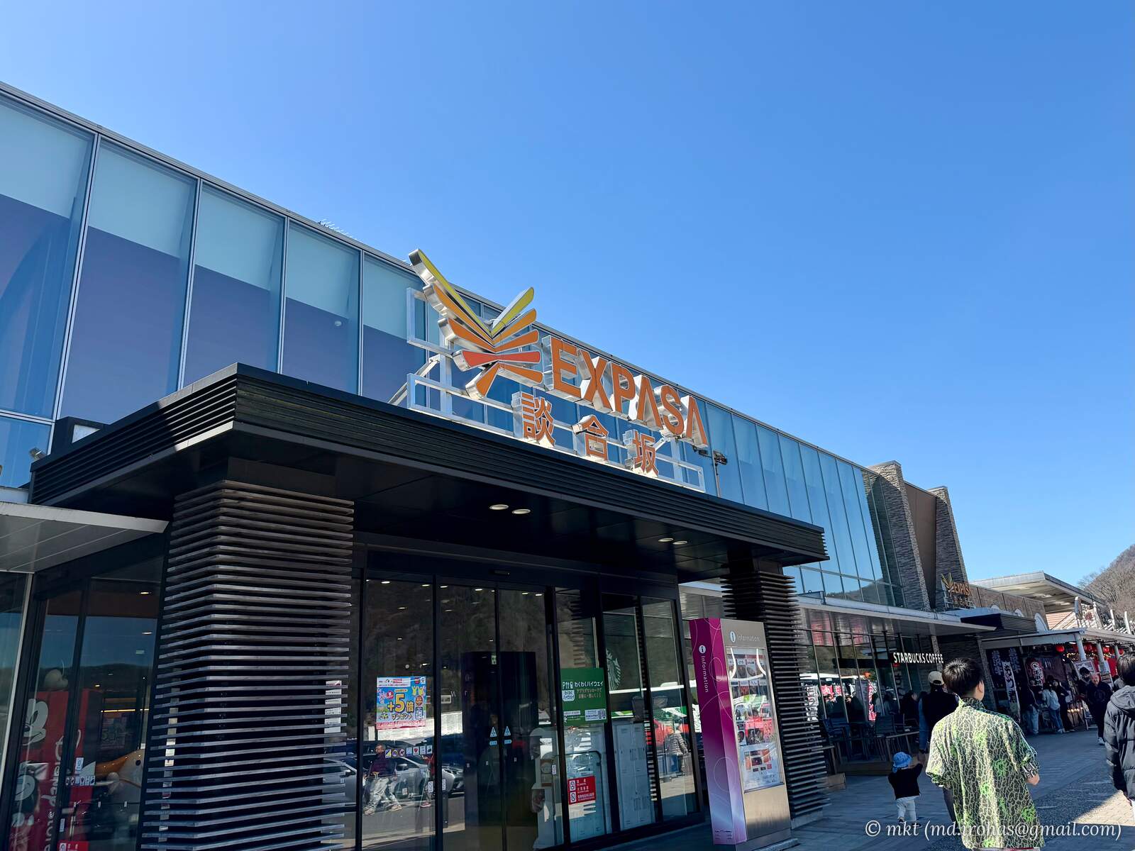
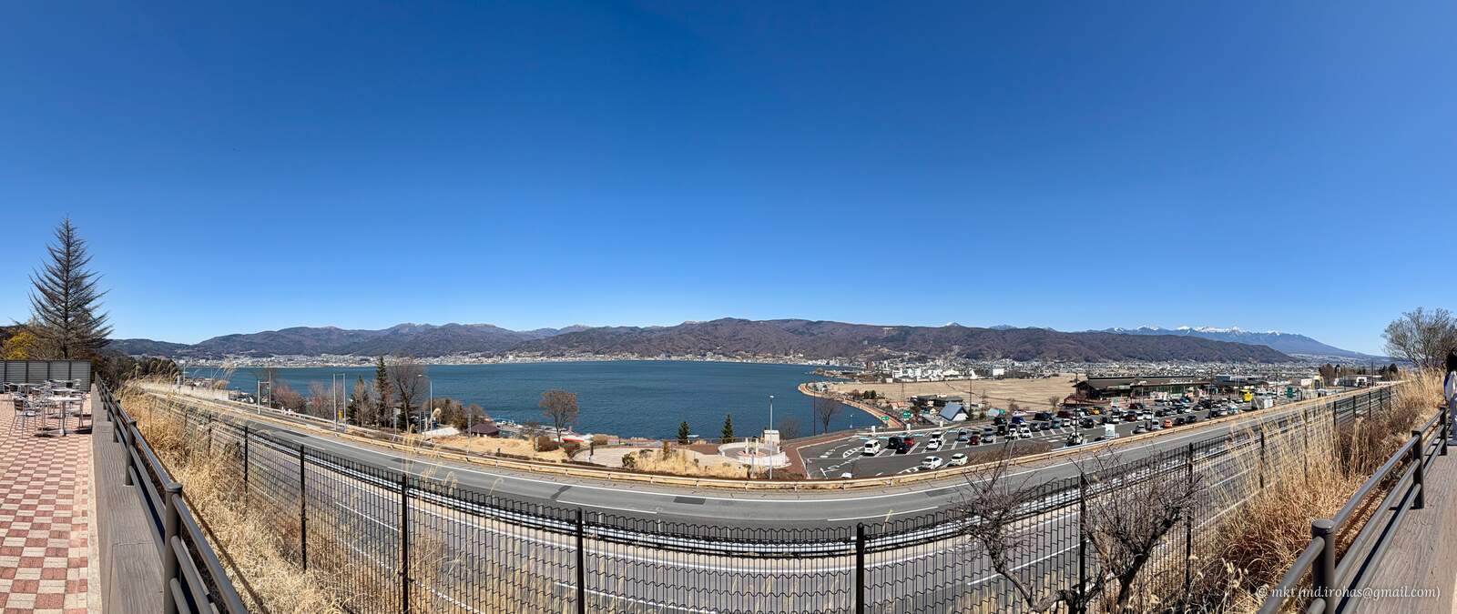
After joining the Chuo Expressway, I stopped at Dangozaka Service Area, then continued west to Lake Suwa Service Area for another break.
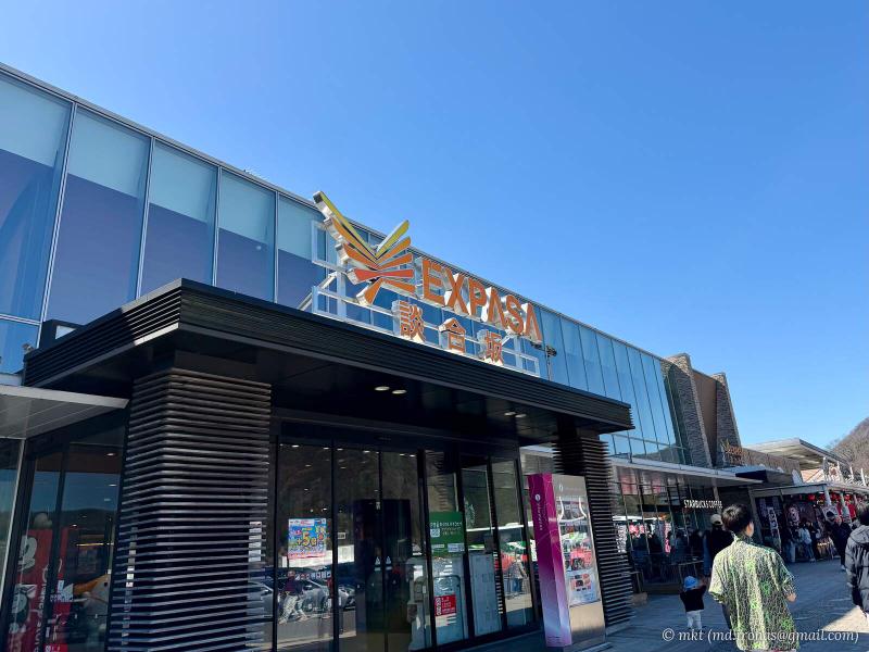
Dangozaka Service Area 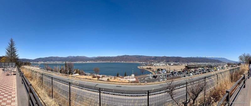
Panoramic view from Lake Suwa Service Area
At Okaya Junction near Lake Suwa, I headed south toward Komagatake Service Area.
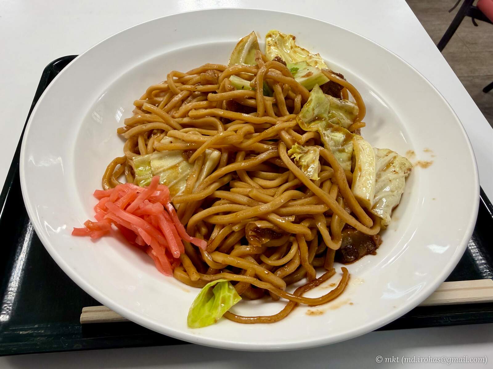
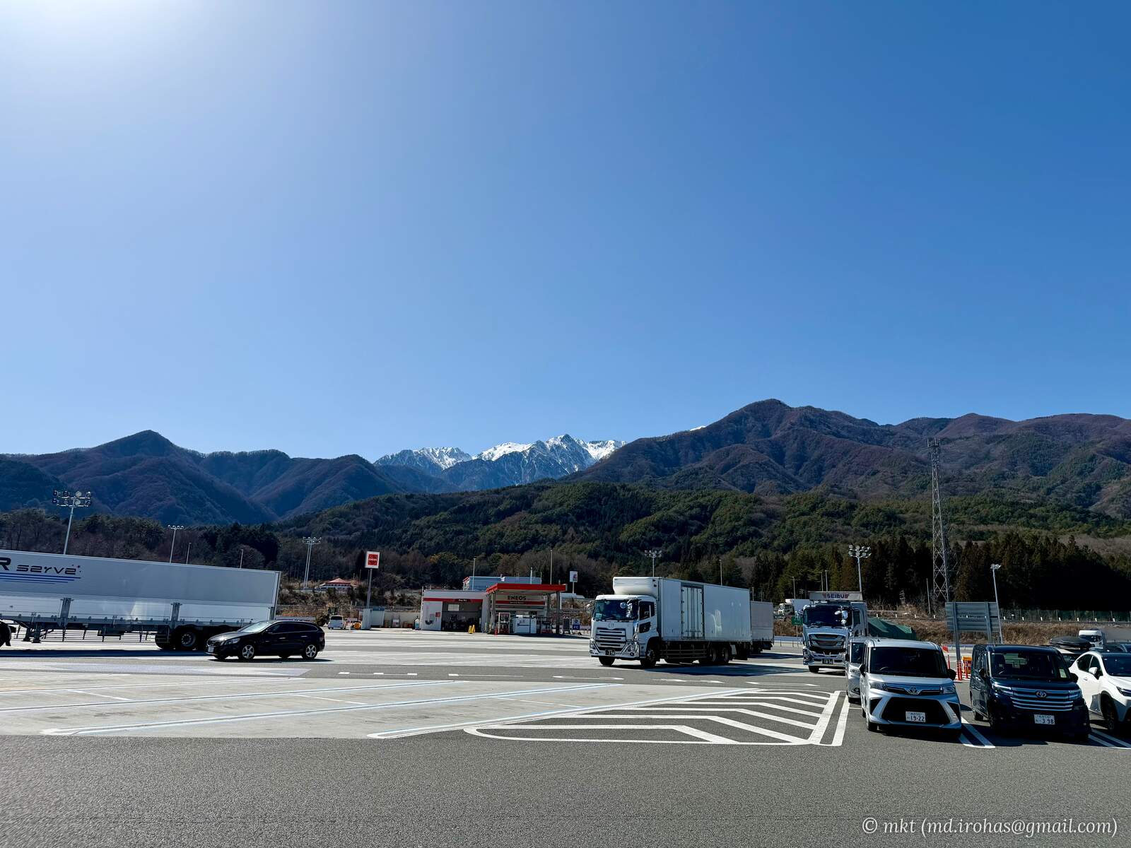
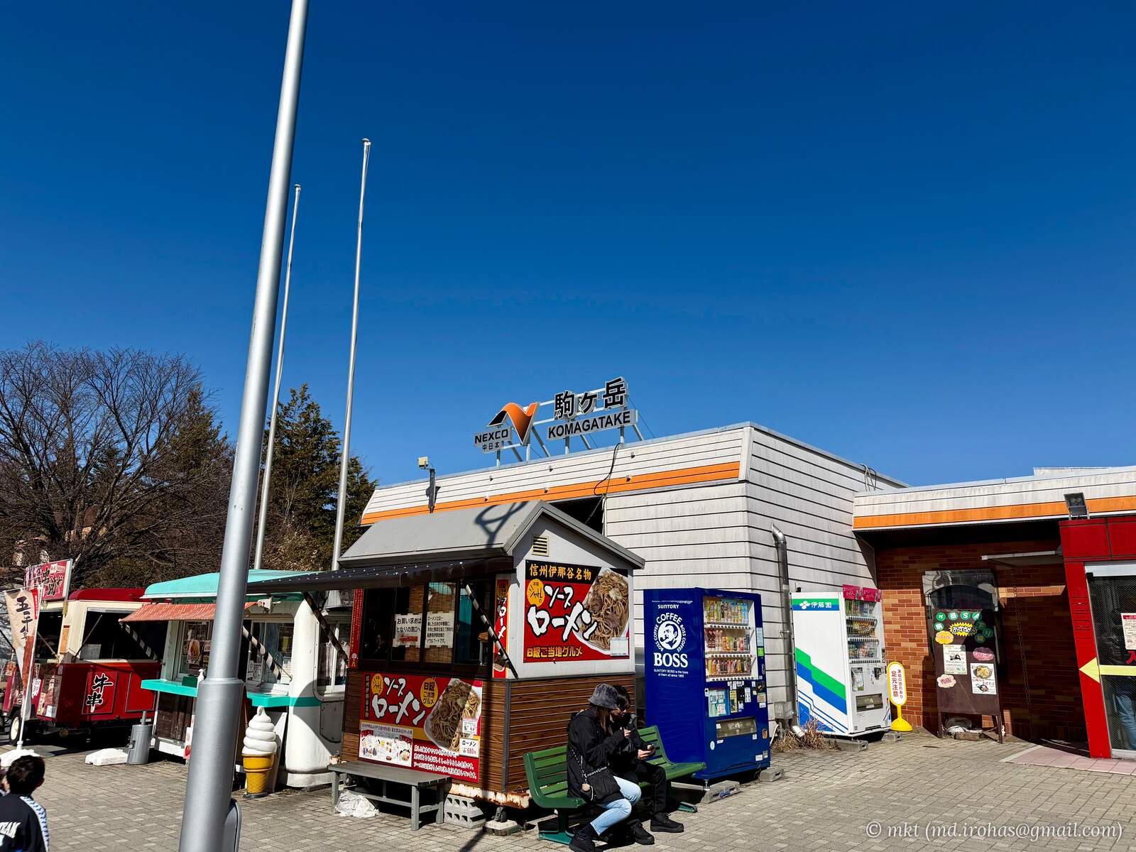
There, I took in the view of the Central Alps and had sauce-flavored "romen" for lunch at the food court. Romen is a local noodle dish from the Ina Valley, and this version was apparently prepared in a style similar to yakisoba.
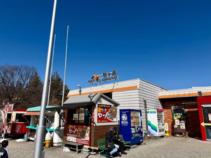
Komagatake Service Area 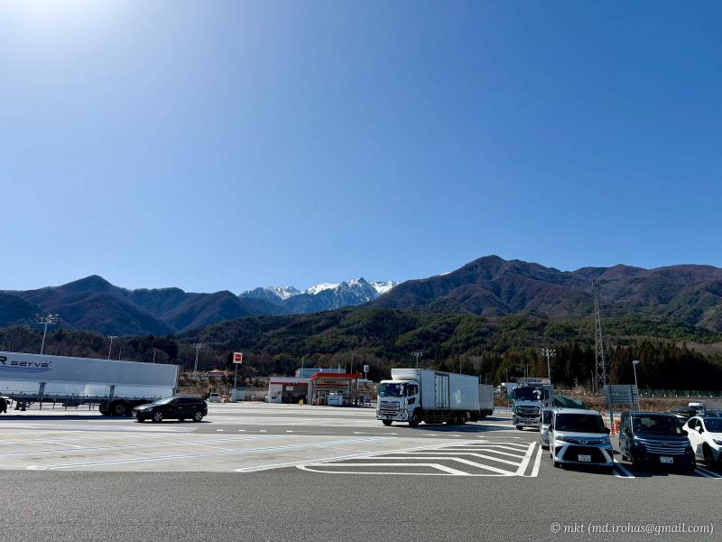
Central Alps viewed from Komagatake Service Area 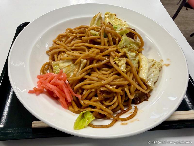
Sauce-flavored romen, a local specialty
Back on the Chuo Expressway, I continued to Enakyo Service Area.
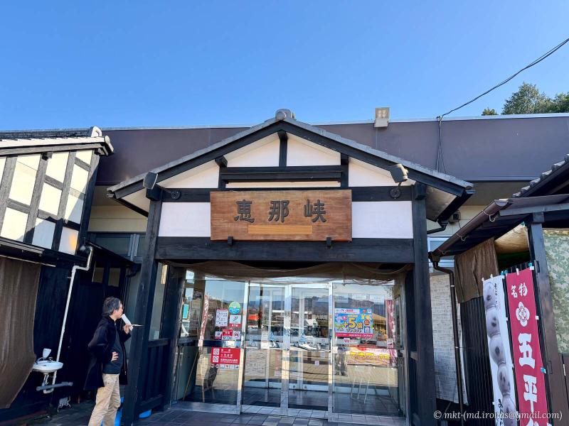
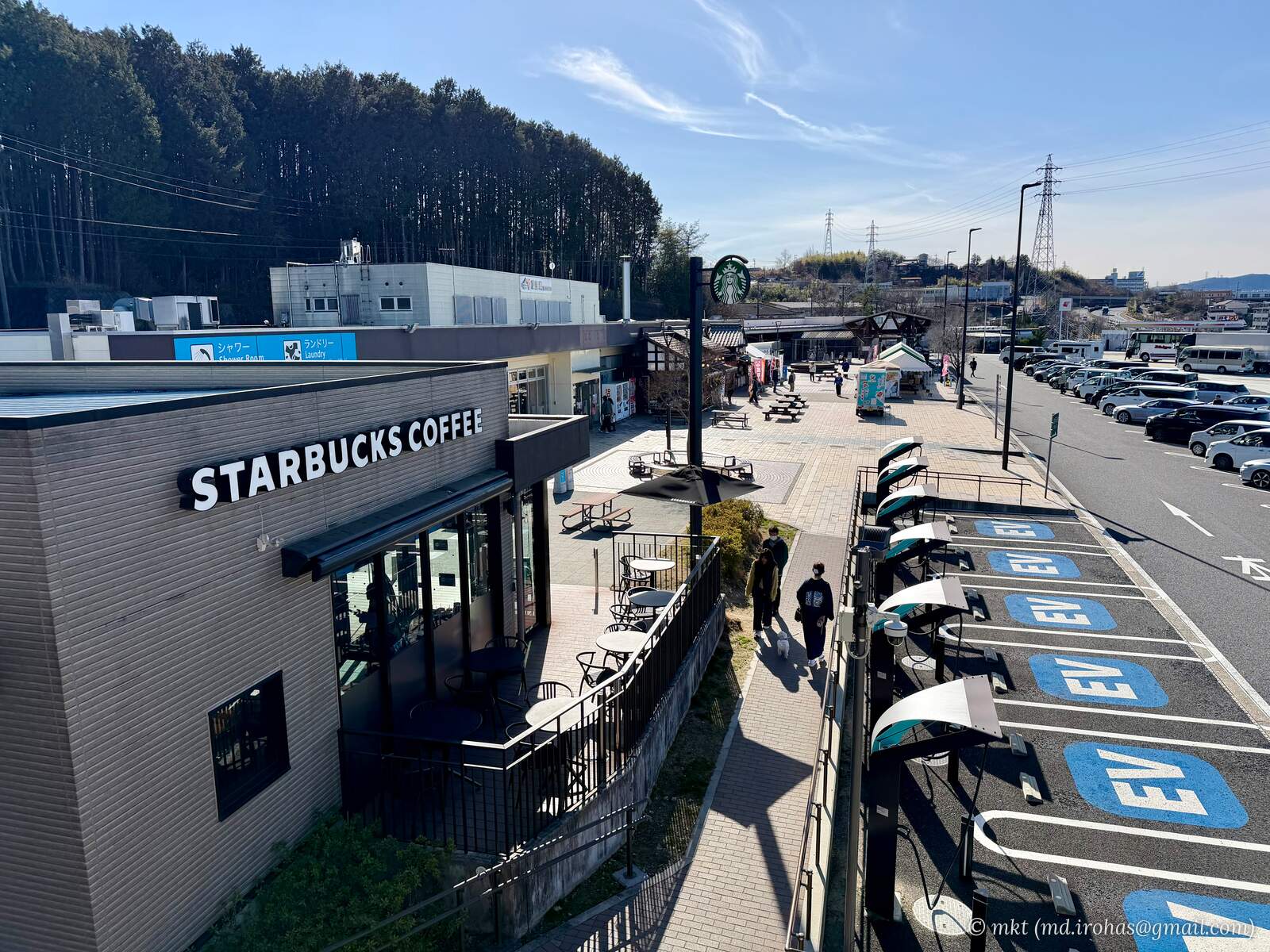
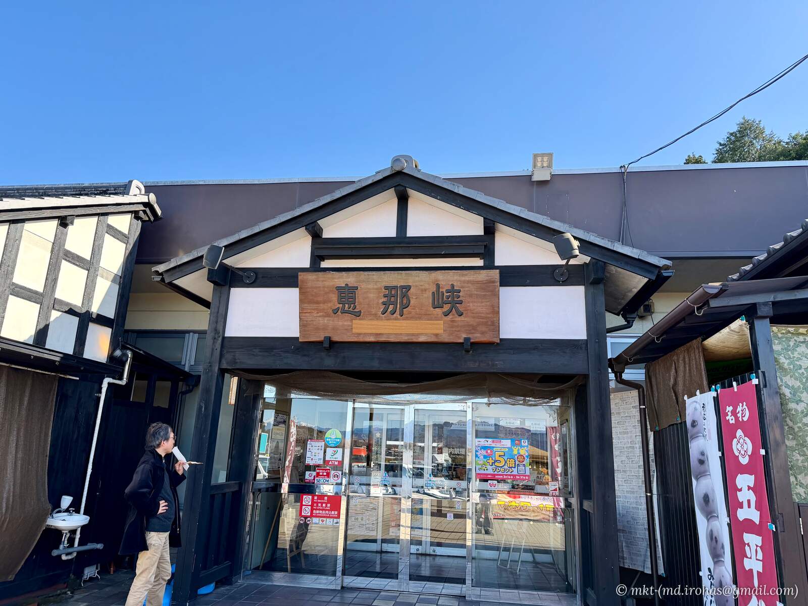
Enakyo Service Area
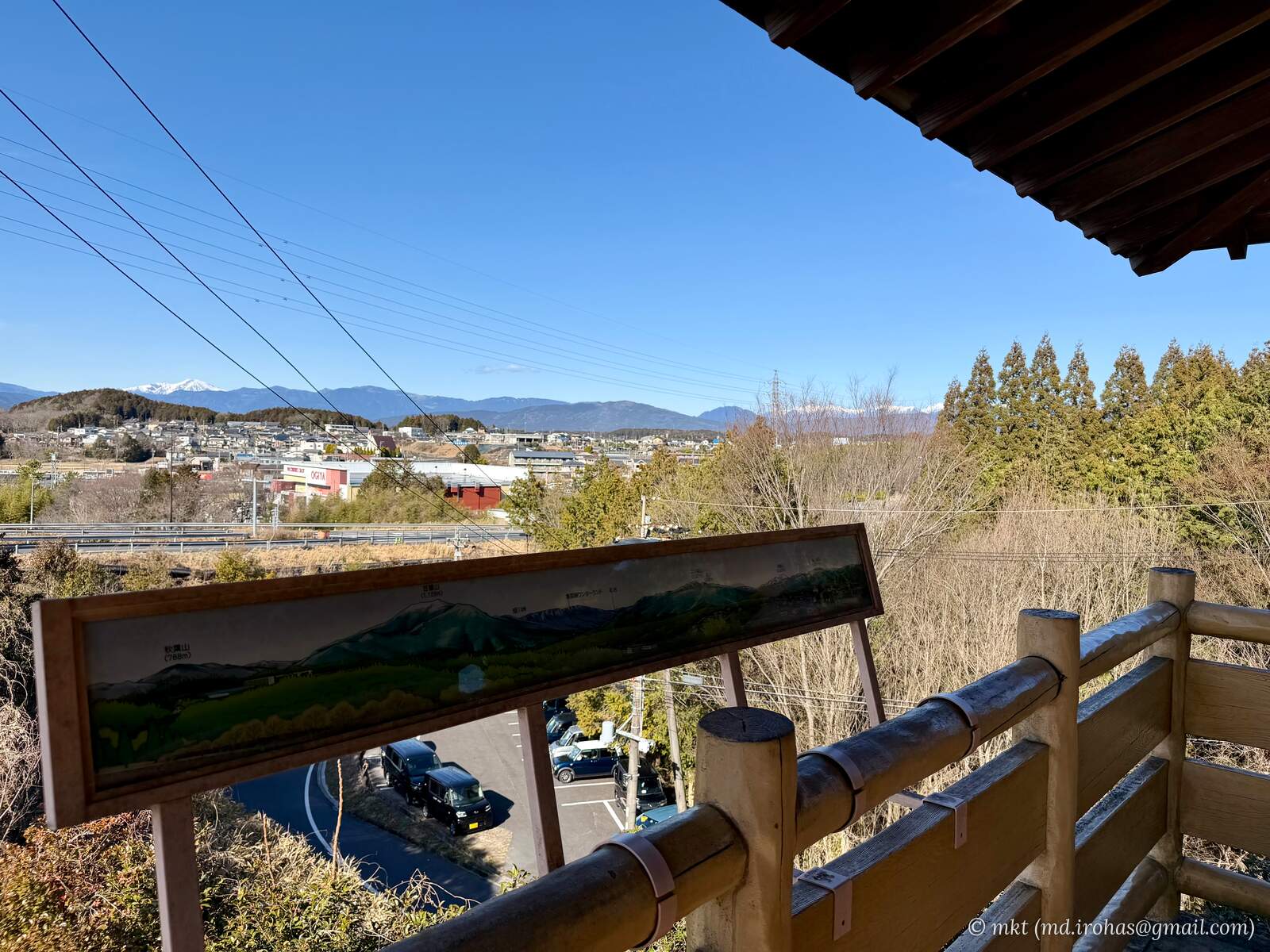
There was a small observation tower resembling a traditional wooden turret, so I climbed up for a look around.
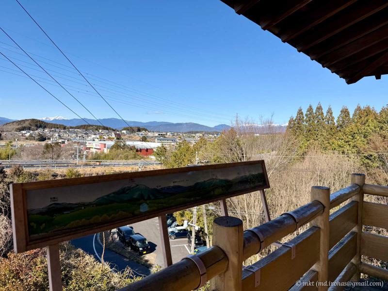
View from the observation tower at Enakyo Service Area 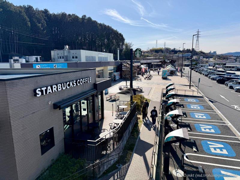
Starbucks at Enakyo Service Area
After crossing the Nobi Plain, I reached Moriyama in Shiga Prefecture in the late afternoon.
I relaxed at a hot spring facility and had dinner at its restaurant.

Dinner at the hot spring restaurant
I stayed overnight at a hotel in Shiga.
The first day covered approximately 450 km and took about eight hours.
-
Day 2: Shiga → Yamaguchi
I left Shiga and continued west on the expressway.
This time, I took the Chugoku Expressway through the mountains rather than the Sanyo Expressway along the Seto Inland Sea.
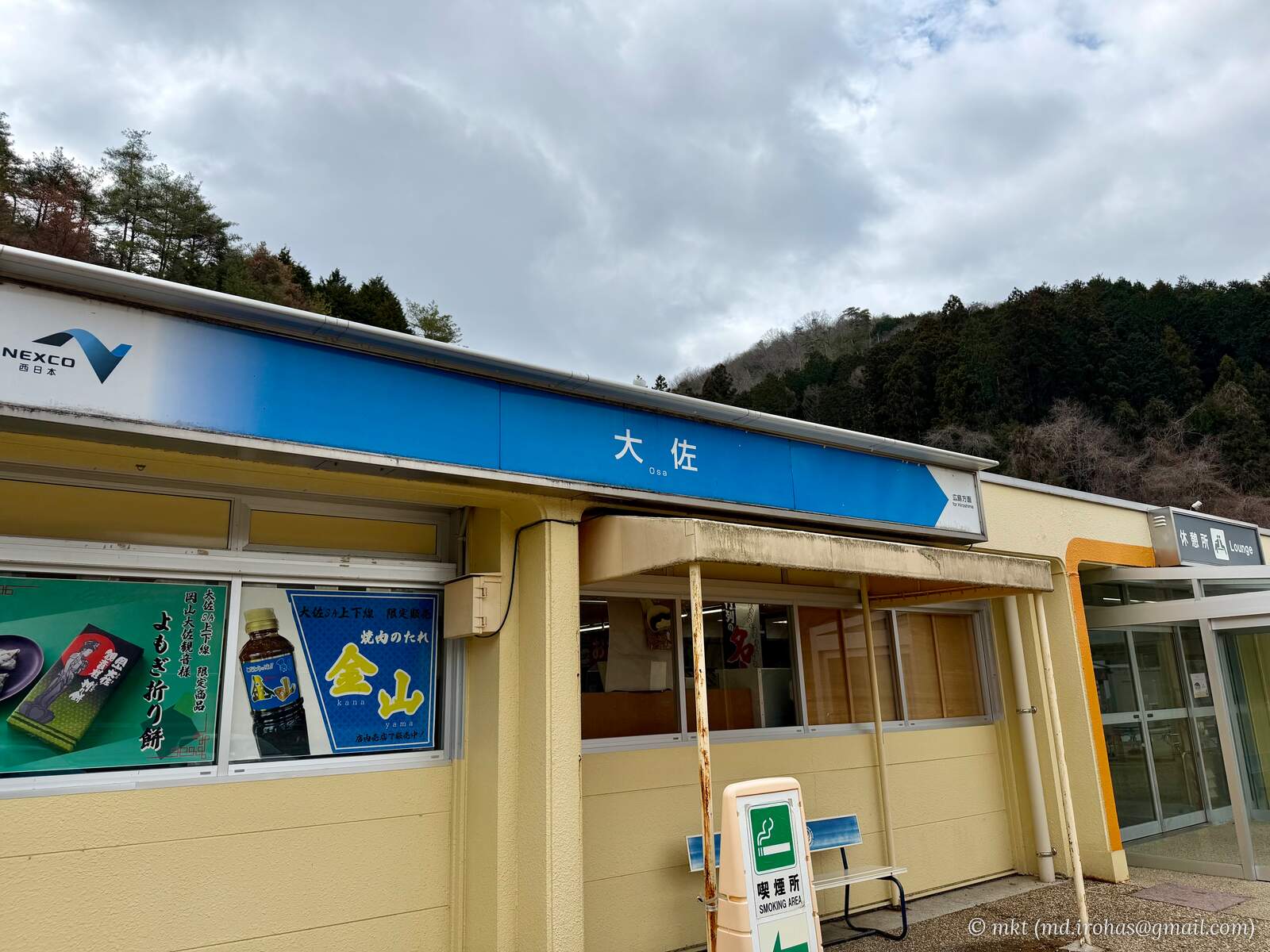
The road wound steadily west through the mountains, with a short break at Osa Service Area in Okayama Prefecture.
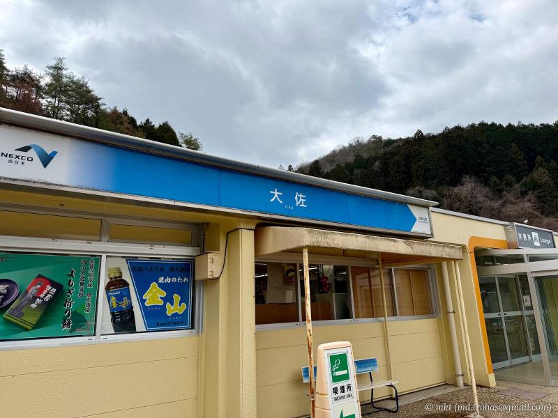
Osa Service Area
Then it was back on the road, continuing west.
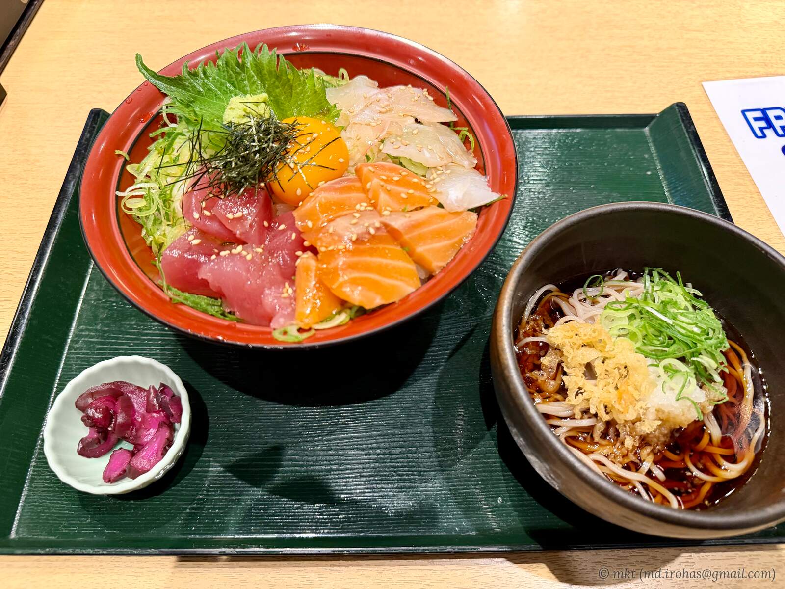
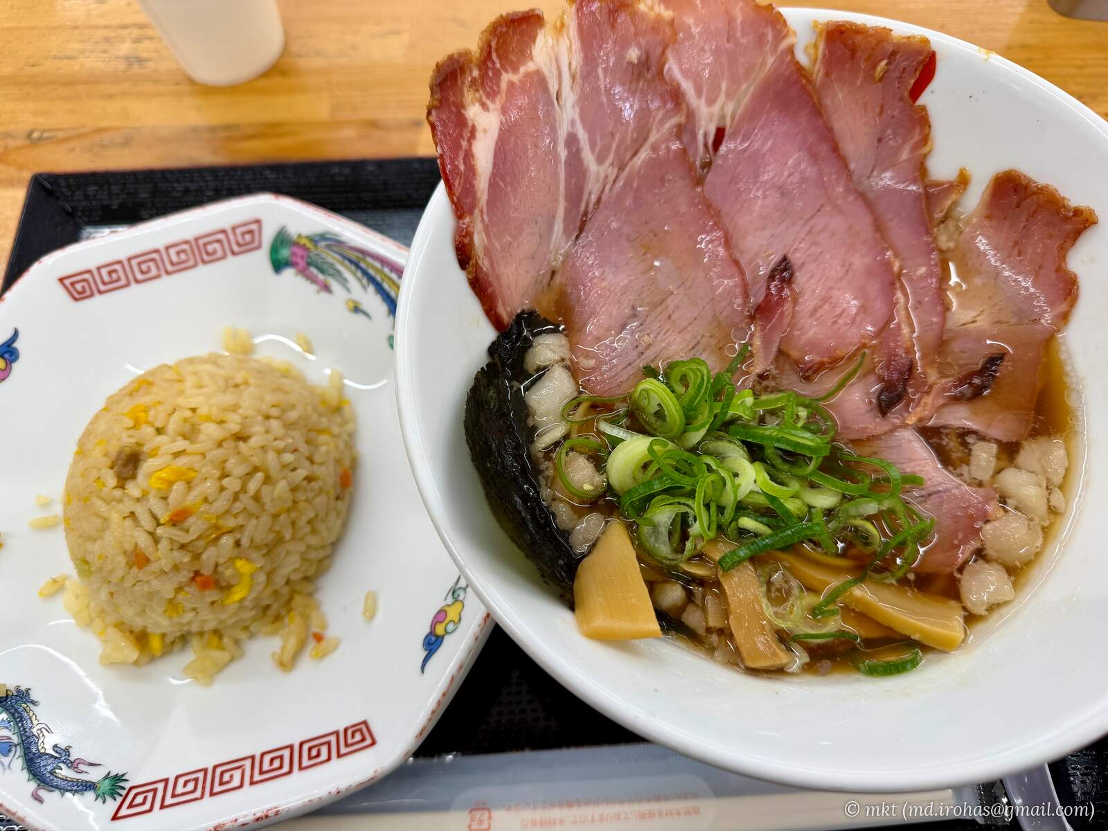
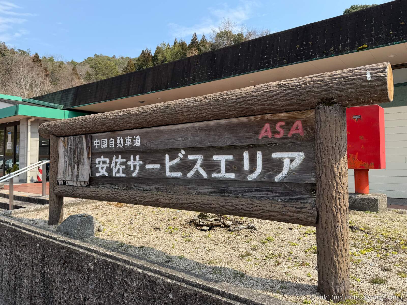
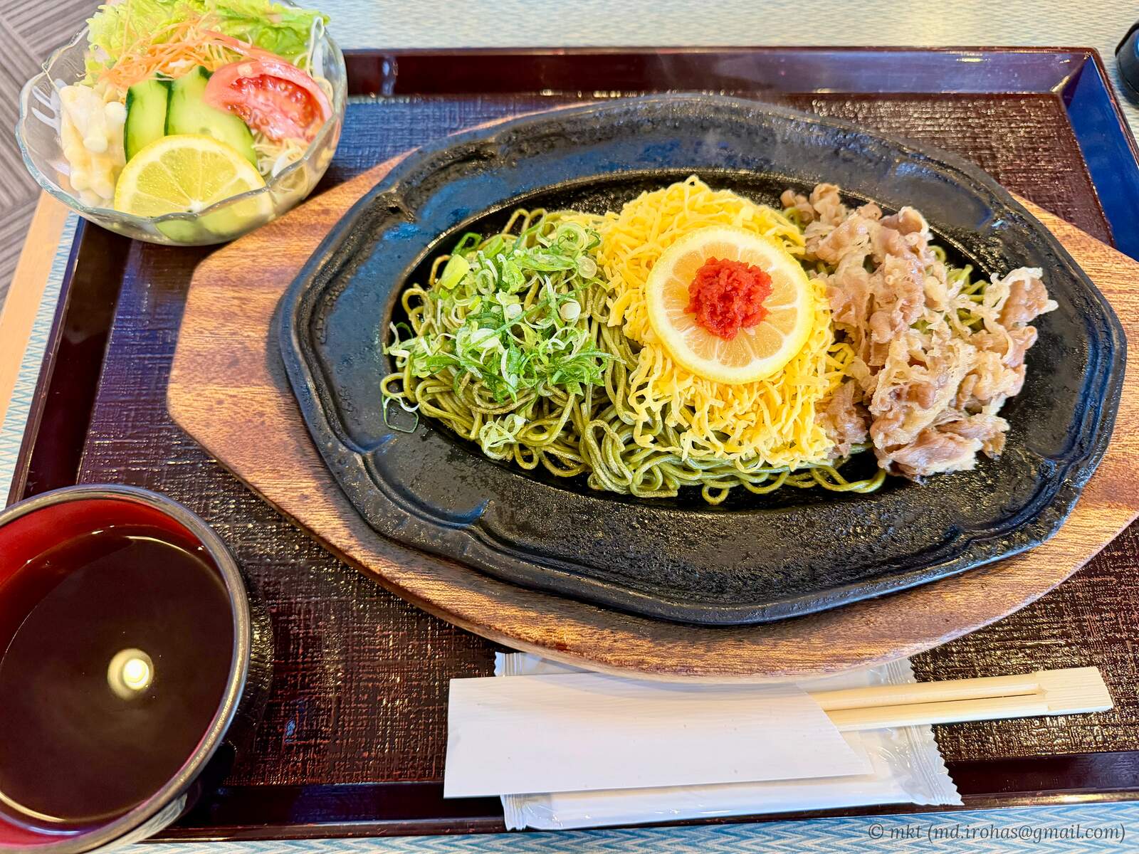
I stopped for lunch at Asa Service Area in Hiroshima Prefecture and ordered a ramen set meal.
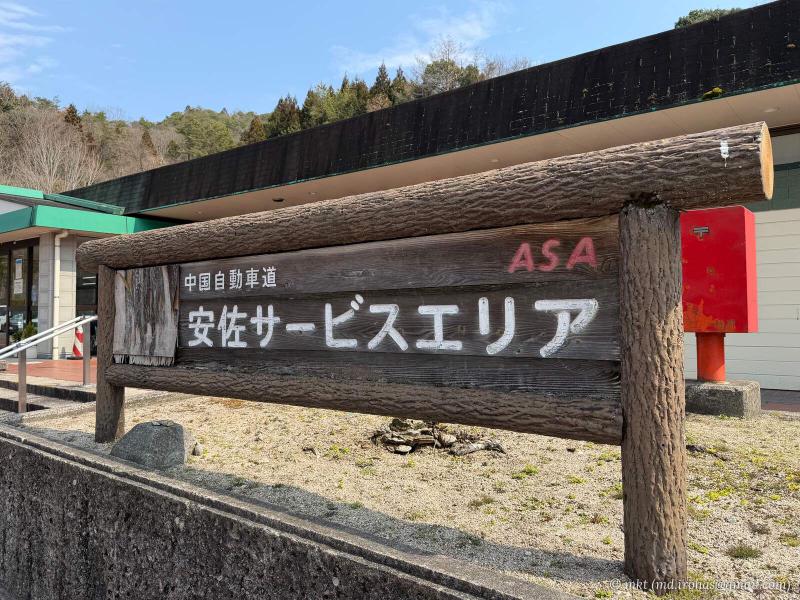
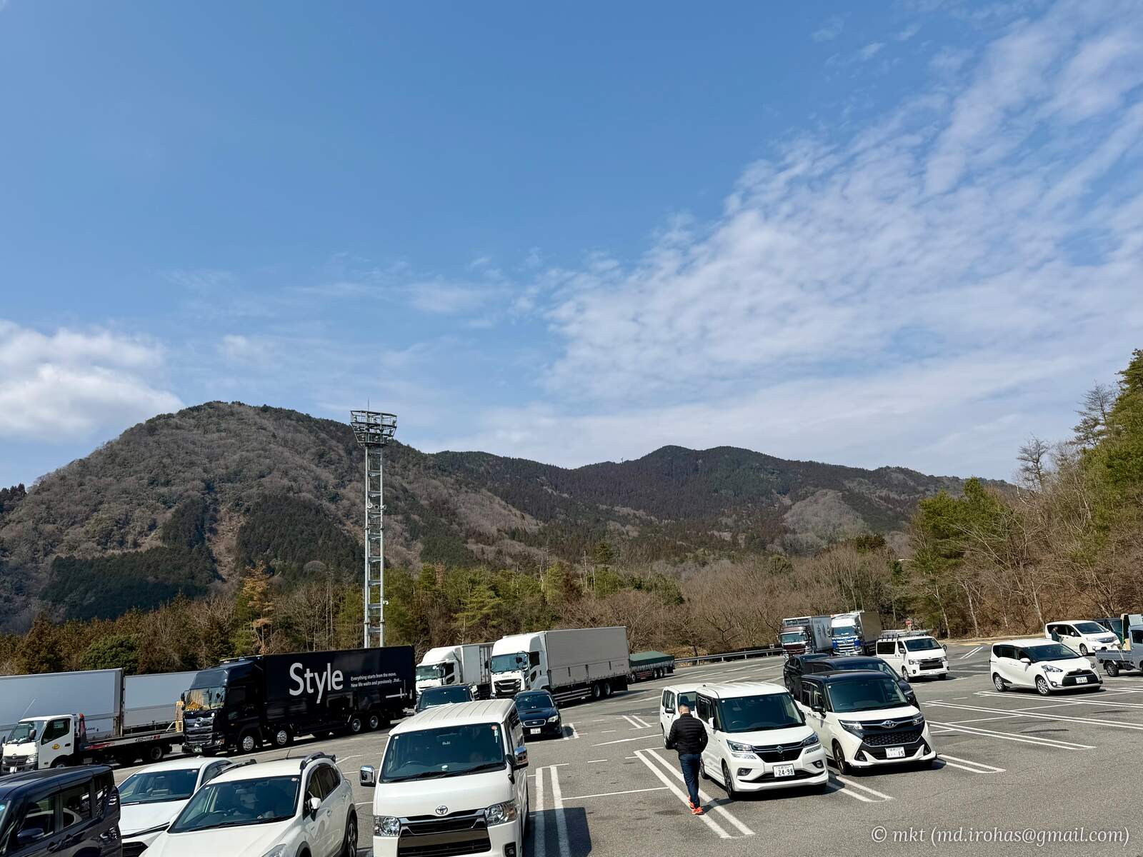
Asa Service Area 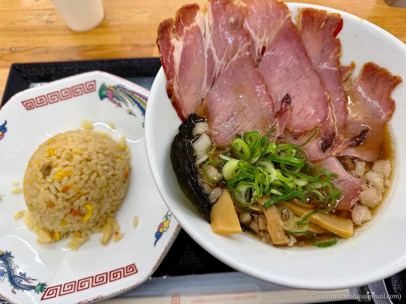
Ramen set meal for lunch
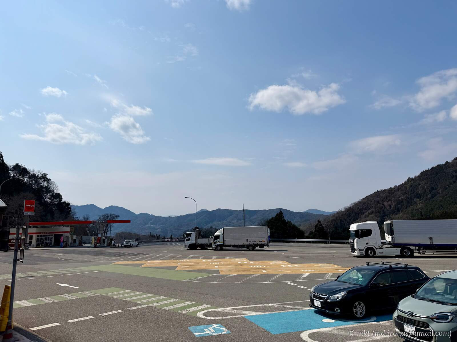
The long stretches of mountain driving on the Chugoku Expressway became a little monotonous, but whenever the view opened up, layers of mountain ridges stretched into the distance.
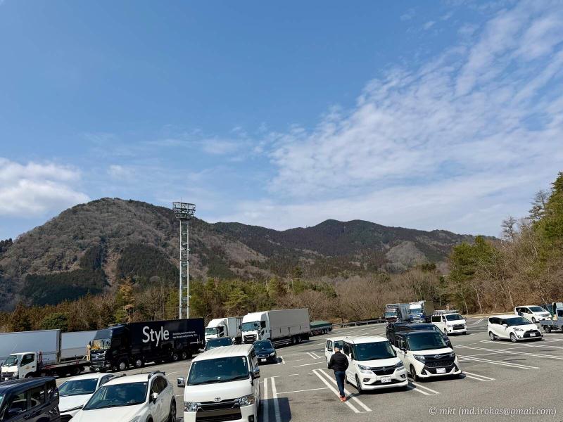
View from Asa Service Area (1) 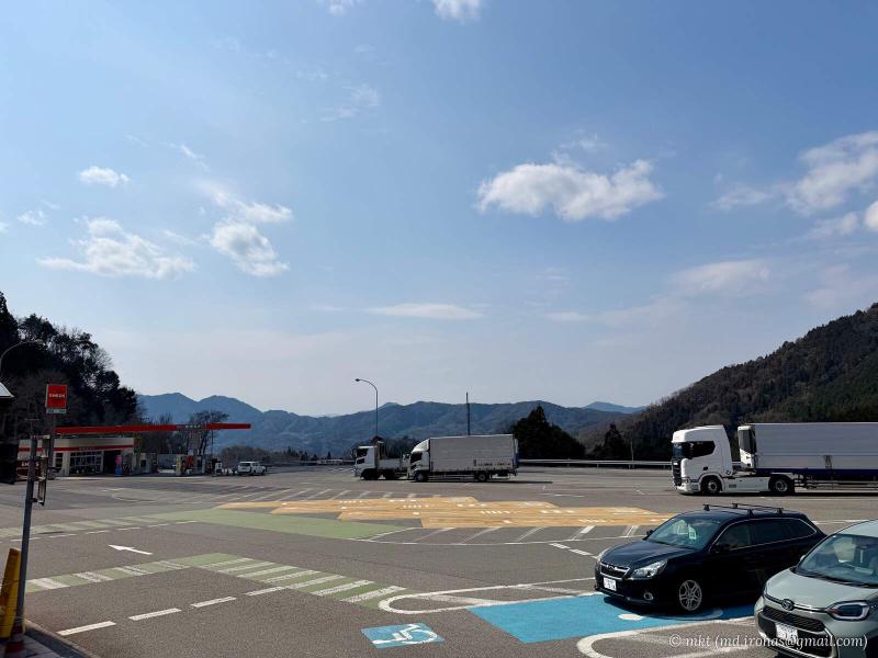
View from Asa Service Area (2)
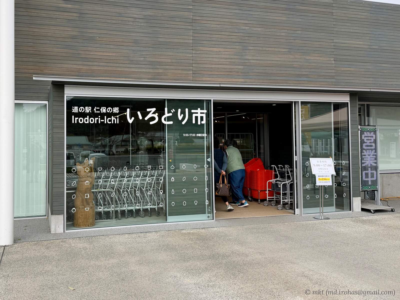
After entering Yamaguchi Prefecture, I left the expressway and stopped at Niho no Sato roadside rest area. Several large satellite dishes were visible nearby, apparently part of a KDDI facility.
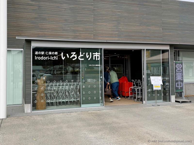
Niho no Sato roadside rest area
Once I reached central Yamaguchi, I went for a soak at a hot spring facility and had "kawara soba", noodles served on a heated tile, at its restaurant.
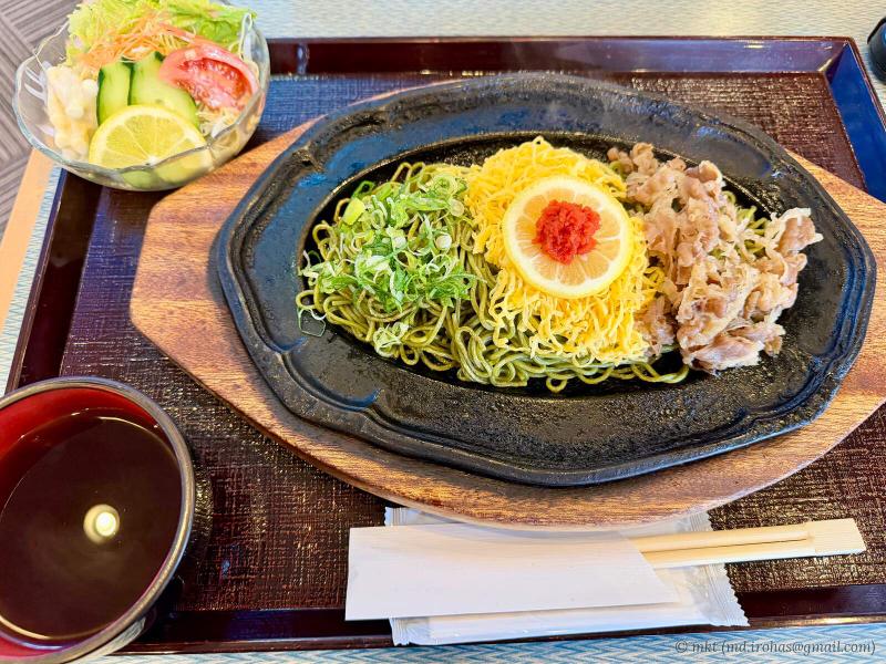
Kawara soba at the hot spring restaurant
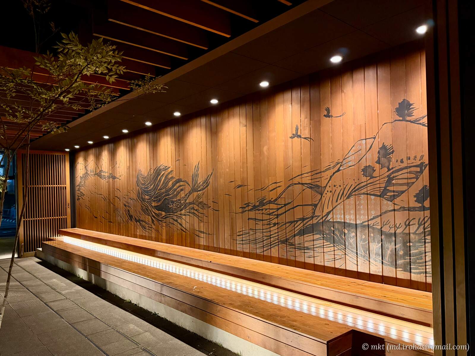
Later, I stopped at a Starbucks in Yamaguchi City that had a stylish mural out front.
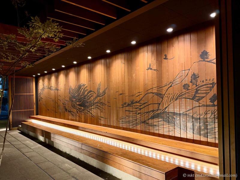
Mural outside Starbucks
I stayed overnight at a hotel in the city.
The second day covered approximately 550 km and took about eight hours.
-
Day 3: Yamaguchi → Miyazaki
I left Yamaguchi City and finally reached Kyushu.
The expressway drive was going smoothly until what seemed to be an accident farther ahead forced me to leave at an interchange.
Google Maps, which I was using for navigation, had not picked up the accident, and its directions became no help at all. I followed the blue direction signs typical of Japanese roads along local streets to the next interchange.
After making it back onto the expressway, I stopped at Beppuwan Service Area.
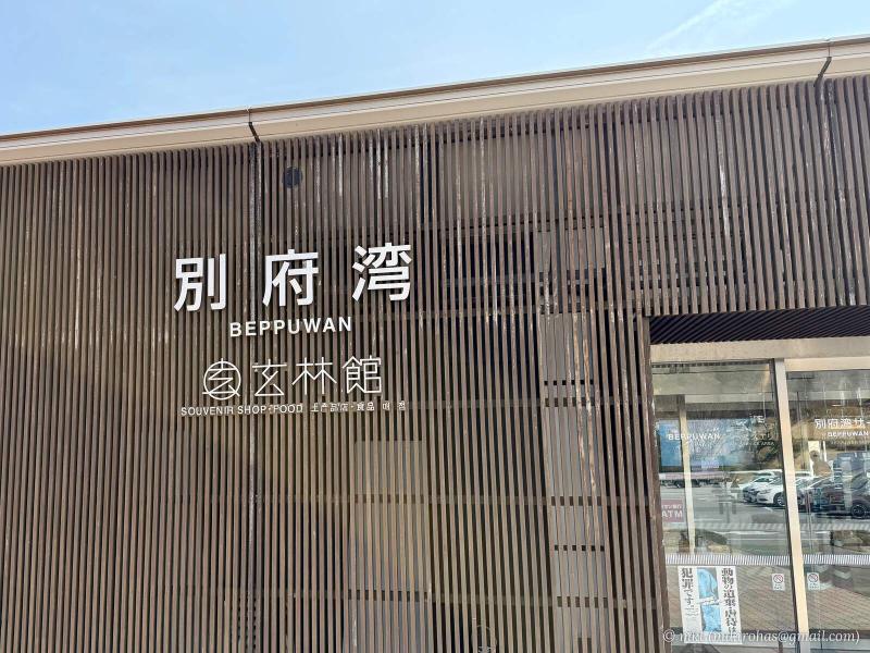
Beppuwan Service Area 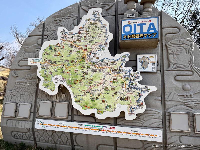
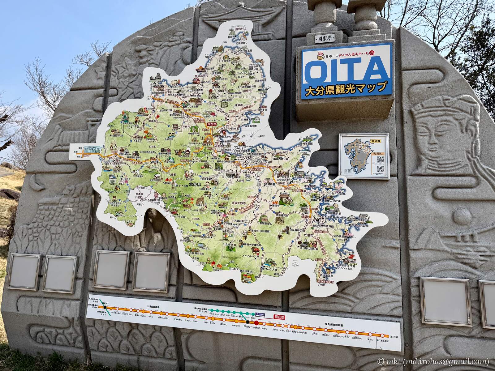
Tourist map of Oita Prefecture
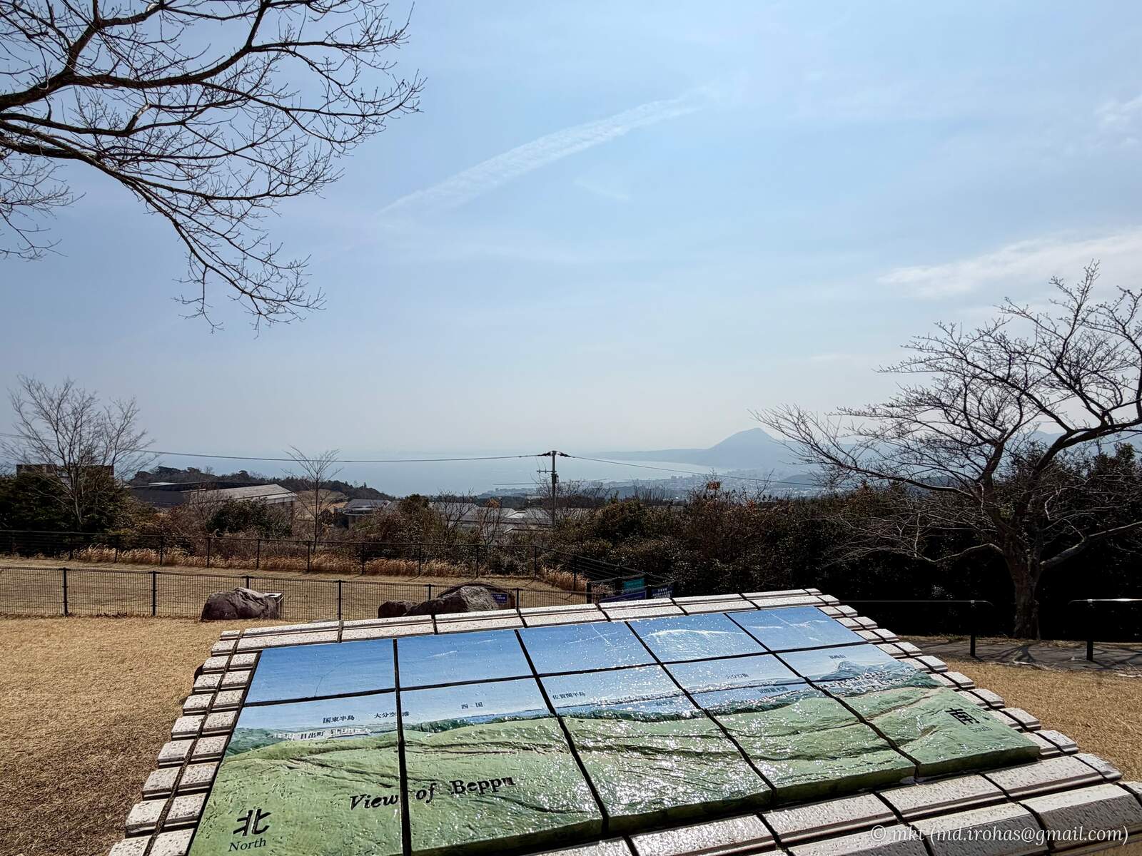
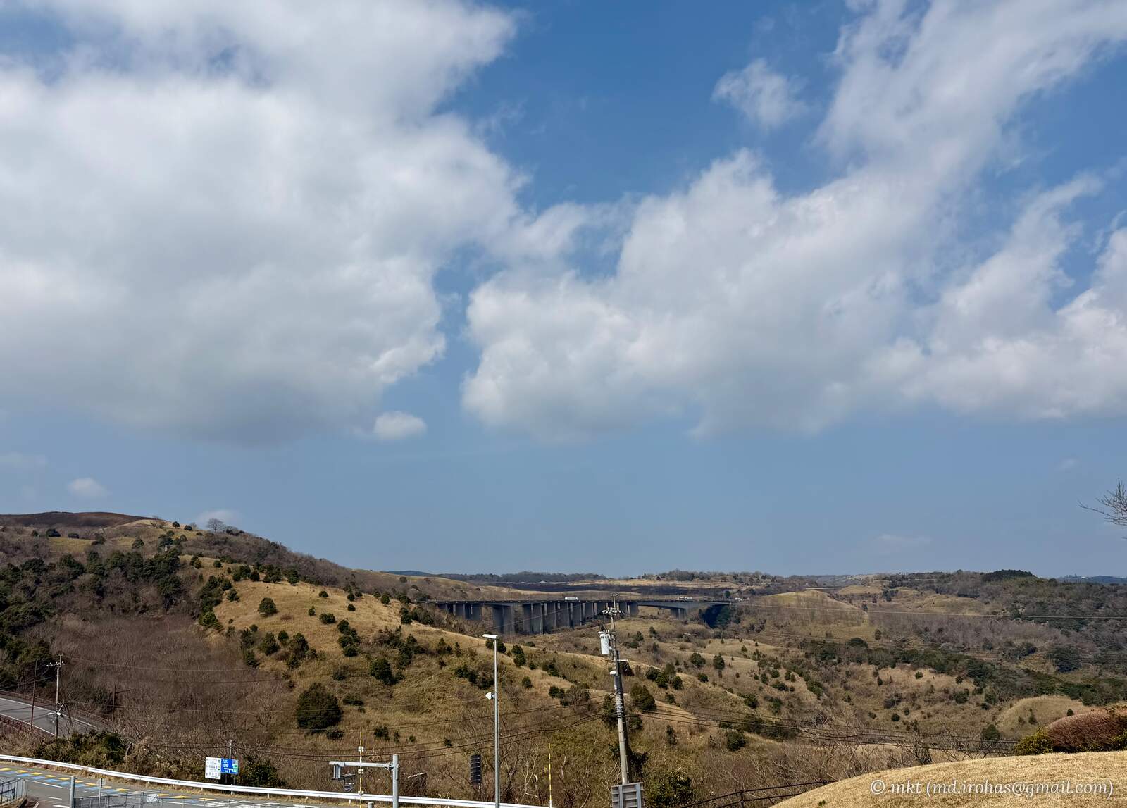
A slightly elevated viewing area offers a broad view of the sea.
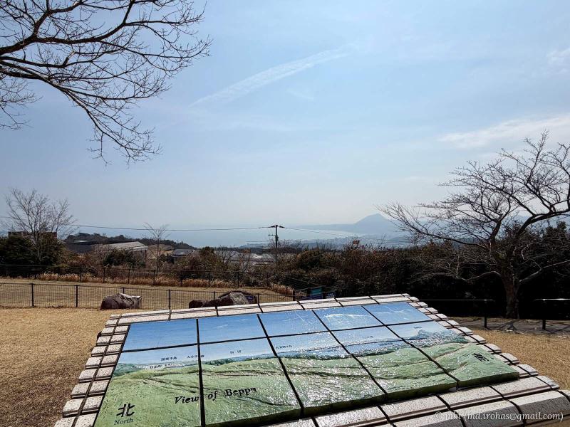
Sea view from Beppuwan Service Area 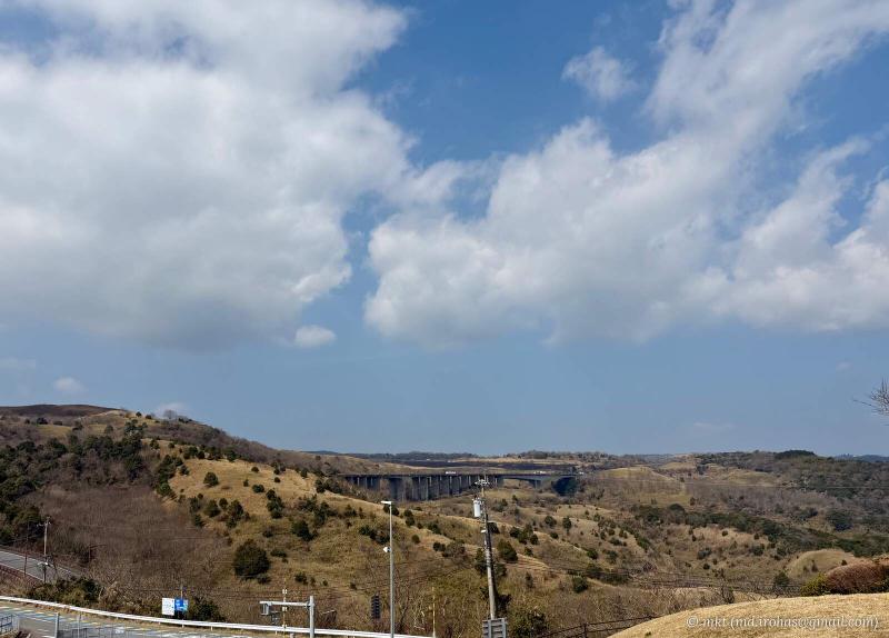
Mountain view from Beppuwan Service Area
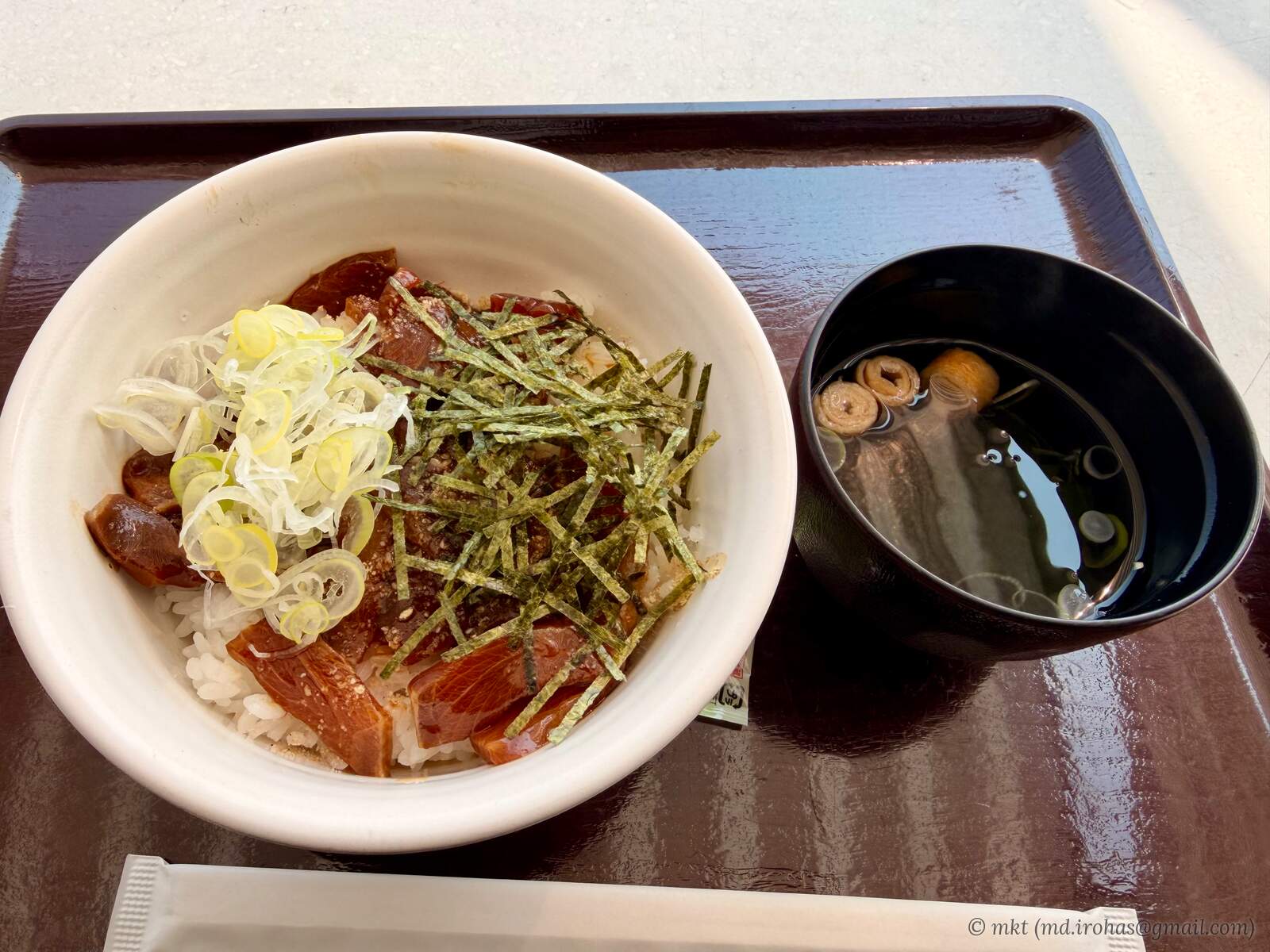
At the food court, I had a "ryukyu" rice bowl, an Oita specialty featuring marinated raw fish over rice.
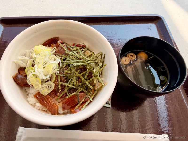
Ryukyu rice bowl for lunch
Continuing south into Miyazaki Prefecture, I visited Cape Hyuga and Omi Shrine.
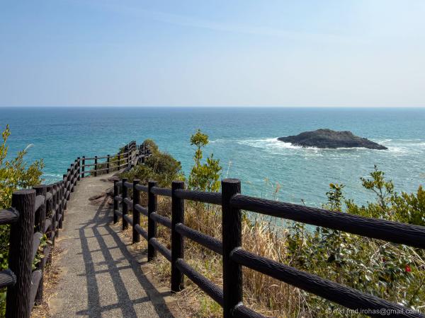
📸 Photo: Cape Hyuga, Japan (March 2026)
📍 Cape Hyuga, Umagase Observatory, Hososhima Lighthouse
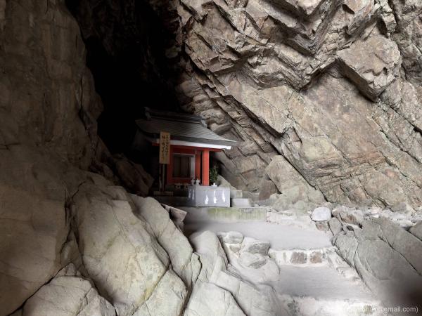
📸 Photo: Omi Shrine, Japan (March 2026)
📍 Omi Shrine, Udo Shrine
After exploring both places, I headed farther south.
I had originally planned to stay in Miyazaki City, but there were no hotel rooms available, so I continued to nearby Miyakonojo, a city in southern Miyazaki Prefecture, instead.
Miyakonojo is just under an hour from Miyazaki City by expressway. Hotel rooms seemed easier to find there, so it might be a useful alternative when traveling by car.
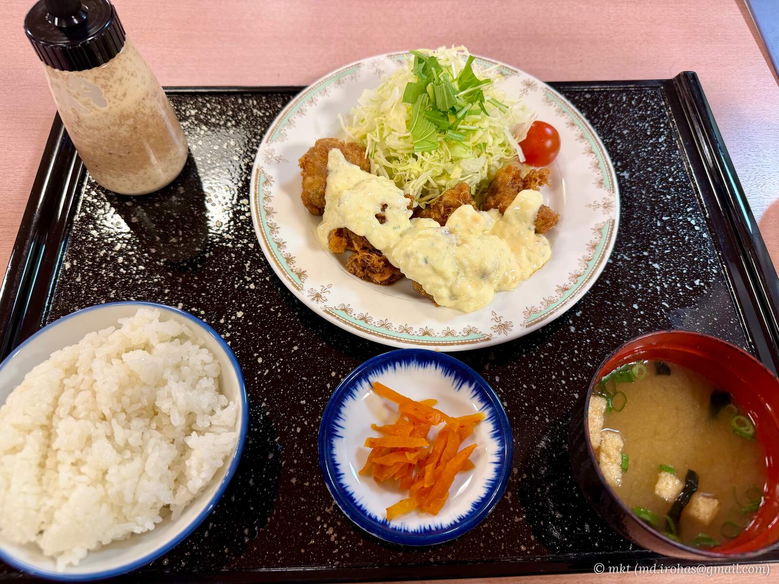
After relaxing at a hot spring facility, I had a chicken nanban set meal at its restaurant and stayed overnight at a hotel in Miyakonojo.
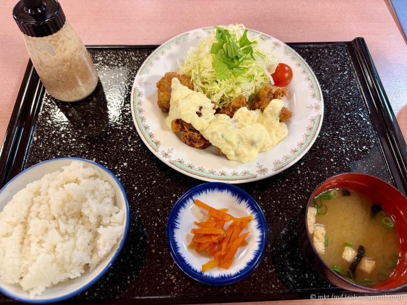
Chicken nanban set meal at the hot spring restaurant
The third day covered approximately 500 km and took about 11 hours, including sightseeing.
-
Day 4: Miyazaki
I left Miyakonojo and spent the day exploring the Miyazaki coast.
My first stop in the morning was Aoshima Shrine.
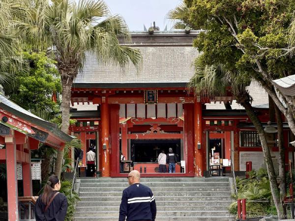
📸 Photo: Aoshima Shrine, Japan (March 2026)
📍 Aoshima Shrine
I followed the coast south to Udo Jingu, a shrine whose main sanctuary stands inside a cave.
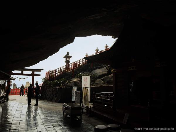
Farther south, I explored Cape Toi, home to wild horses.
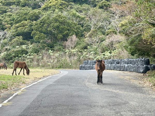
📸 Photo: Cape Toi, Japan (March 2026)
📍 Cape Toi, Cape Toi Lighthouse, Misaki Shrine
I had planned to have lunch at a roadside rest area along the way, but I arrived after the restaurant had closed.
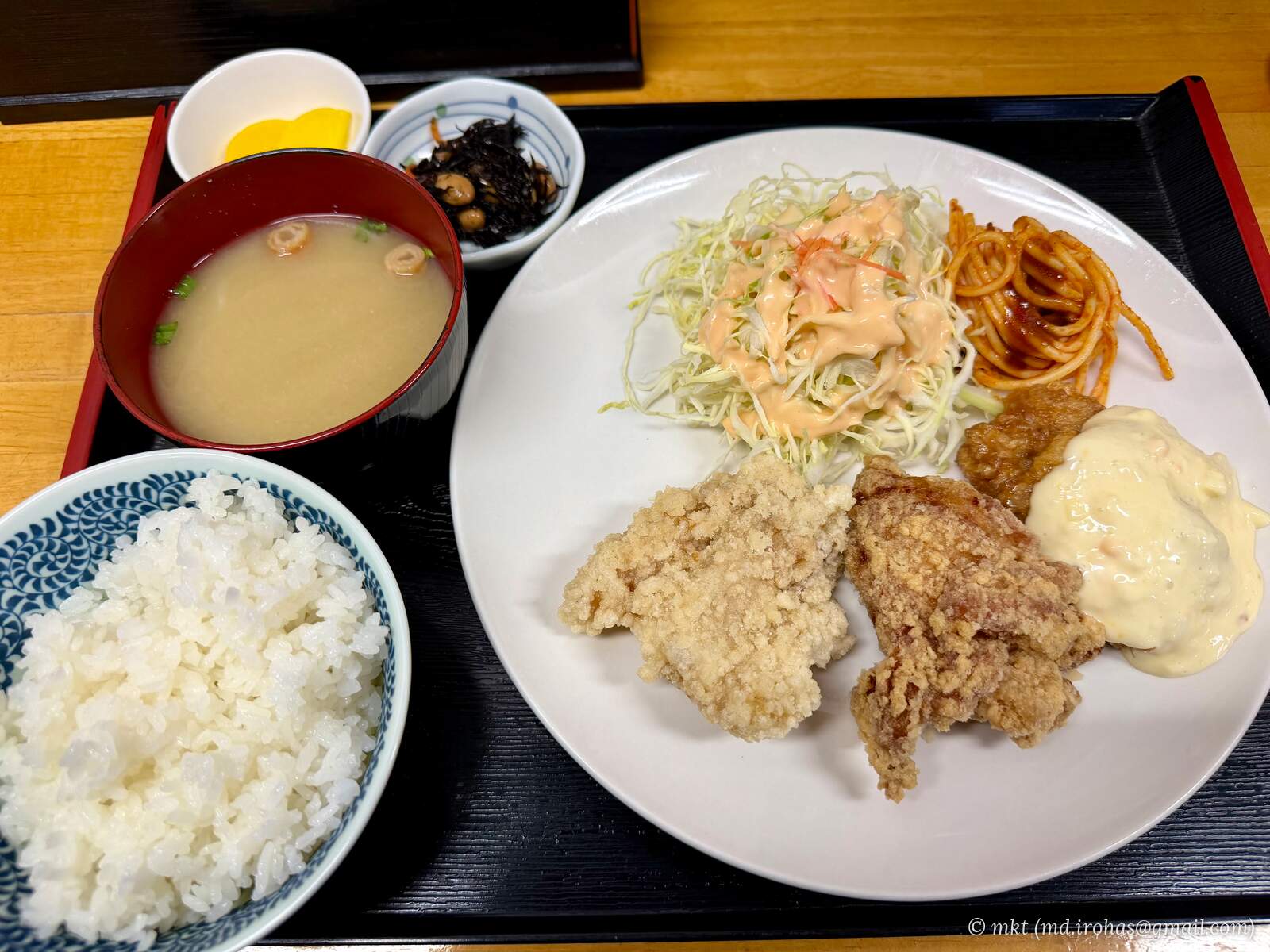
Back in Miyakonojo, I unwound at a local public bath ("sento"). For dinner, I had a karaage fried chicken set meal. Each piece was large, making it a filling meal.
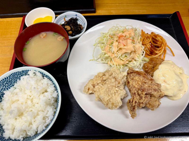
Karaage fried chicken set meal for dinner
I spent another night at a hotel in Miyakonojo.
The fourth day covered approximately 200 km and took about nine hours, mostly spent sightseeing.
-
Day 5: Satsuma Peninsula
I left Miyakonojo and headed to the Satsuma Peninsula in Kagoshima Prefecture.
After visiting Chiran Peace Museum, I walked around Cape Nagasakibana, relaxed at Tamatebako Onsen, and continued to Kagoshima City.
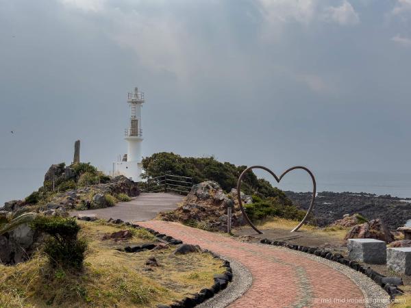
📸 Photo: Satsuma Peninsula, Japan (March 2026)
📍 Chiran Peace Museum, Cape Nagasakibana, Tamatebako Onsen
Once in the city, I stopped at Starbucks Kagoshima Sengan-en. Sengan-en is the former villa of the Shimazu clan, the lords of the Satsuma domain, and the café is housed in a historic building with a lovely atmosphere. I would recommend a visit.
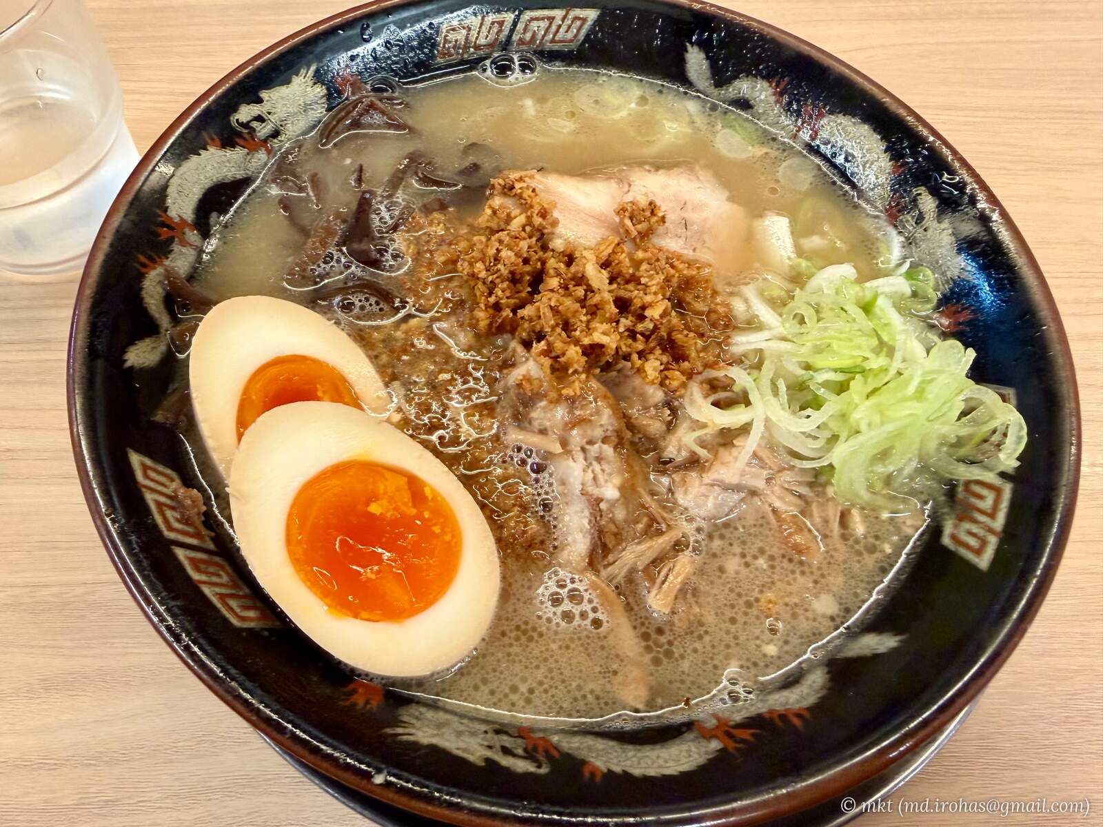
I had Kagoshima ramen for dinner.
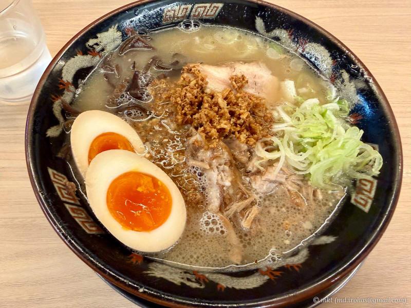
Kagoshima ramen for dinner
I stayed overnight at a hotel in the city.
The fifth day covered approximately 200 km and took about nine hours, including sightseeing.
-
Day 6: Osumi Peninsula
I left Kagoshima City and set out for Cape Sata, the southernmost point of mainland Japan.
Instead of taking the ferry, I drove around Kagoshima Bay to Sakurajima. After completing a circuit around Sakurajima, I headed south along the Osumi Peninsula to Cape Sata.
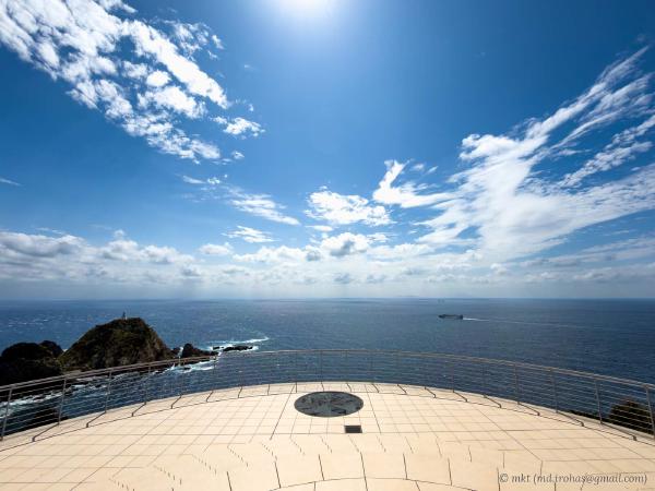
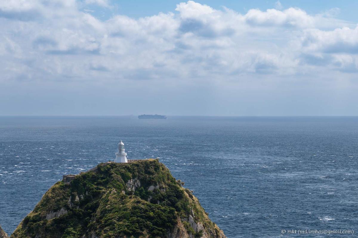
📸 Photo: Cape Sata, Japan (March 2026)
📍 Cape Sata, Sakurajima
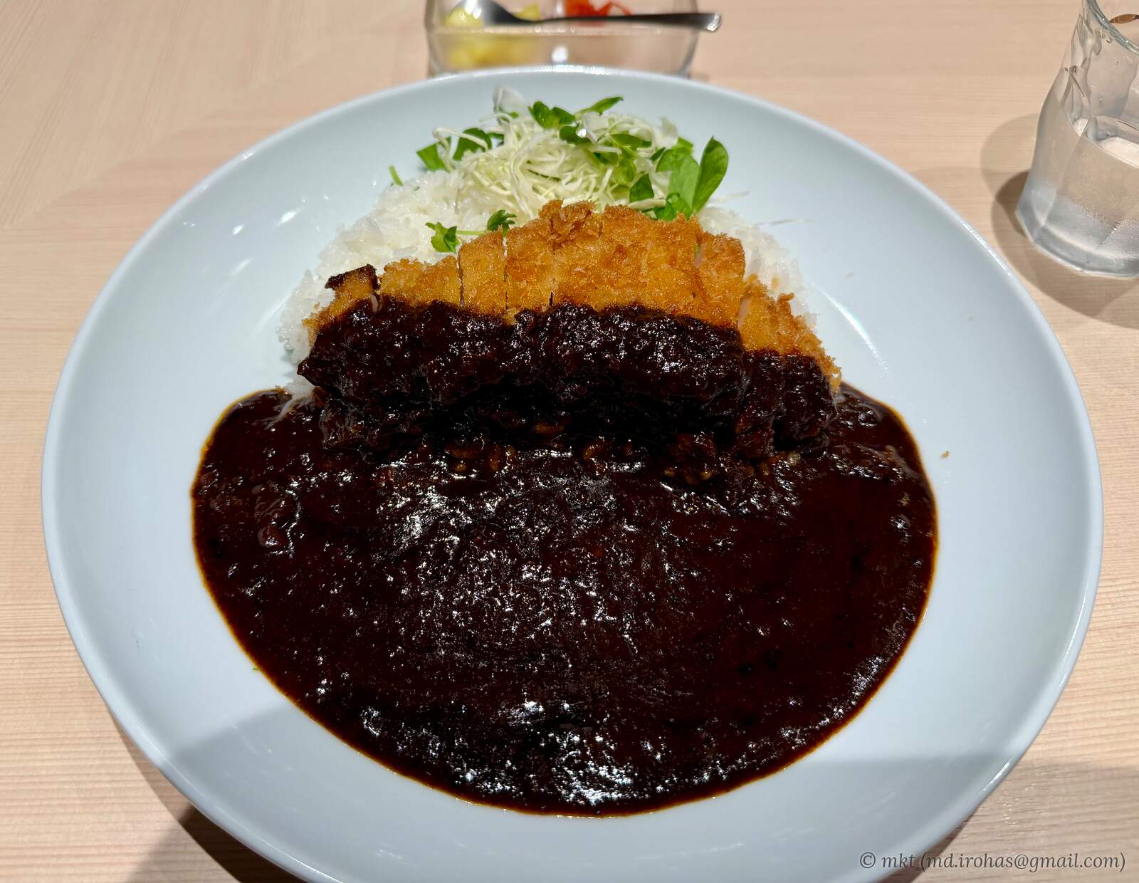
After exploring the cape, I returned to Kagoshima City and had katsu curry for dinner.
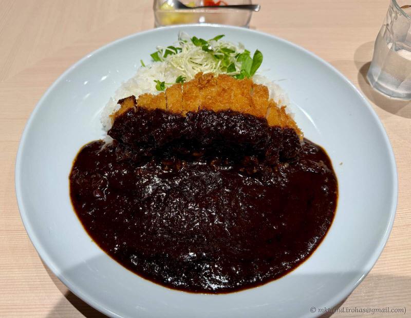
Katsu curry for dinner
The sixth day covered approximately 350 km and took about 10 hours, including sightseeing.
-
Day 7: Kagoshima → Nagasaki (Family Home)
On the final day, I drove from Kagoshima City to my family home in Nagasaki City.
I had no sightseeing planned that day, just the drive. Seven days after leaving Tokyo, I finally arrived in Nagasaki.
The seventh day covered approximately 400 km and took about six hours.
I have written separate posts with photos from each of the sightseeing stops. Take a look if any of the places catch your interest.
Gallery #
iPhone 17 Pro #
Map #
Related Articles #
📸 Photo: Cape Hyuga, Japan (March 2026)
📸 Photo: Omi Shrine, Japan (March 2026)
📸 Photo: Aoshima Shrine, Japan (March 2026)
📸 Photo: Cape Toi, Japan (March 2026)
📸 Photo: Satsuma Peninsula, Japan (March 2026)
📸 Photo: Cape Sata, Japan (March 2026)
Change History #
- 2026/09/30: First version.